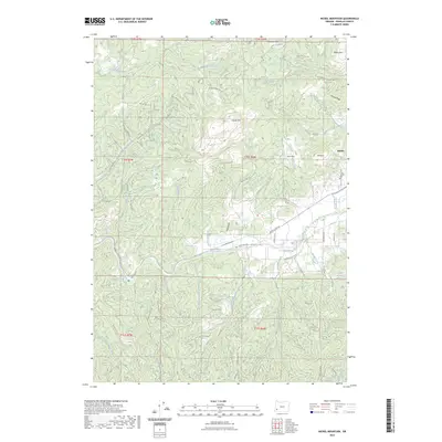
2023 Map of Nickel Mountain
USGS Topo · Published 2023About this map
Riddle sits at the eastern edge of this landscape, where the valley floor meets the rising timberlands of Douglas County. The terrain is defined by its industrial and natural landmarks, notably the prominent Nickel Mtn and nearby Mt Isaac. Waterways like Cow Creek and Thompson Creek carve through the ridges, creating a complex network of drainages that support both agriculture and forestry. A vast web of Bureau of Land Management roads, such as BLM RD 30-7-23.0, provides access to the high ground of Langell Ridge and Nickle Mtn, reflecting the area's history of resource management and mining. Local history is anchored by the Riddle Cem and established flats like Baker Flat and Jerry Flat, which indicate early land use in the more level sections of the quadrangle.
Find a feature on this map
71 named features on this map. Tap any name to fly to it.
Don’t see what you’re looking for? This feature index may not catch every label — zoom into the map to look around manually.
Map Details
Editions of this 2023 Nickel Mountain Map
This is the sole edition of this map. No revisions or reprints were ever made.
Other maps of this area

1897 · Roseburg
USGS Topo · 1:125,000

1900 · Roseburg
USGS Topo · 1:125,000

1904 · Riddle
USGS Topo · 1:125,000

1928 · Sitkum
USGS Topo · 1:125,000

1946 · Dutchman Butte
USGS Topo · 1:62,500

1948 · Dutchman Butte
USGS Topo · 1:62,500

1954 · Canyonville
USGS Topo · 1:62,500

1955 · Camas Valley
USGS Topo · 1:62,500

1955 · Roseburg
USGS Topo · 1:62,500

1955 · Medford
USGS Topo · 1:250,000