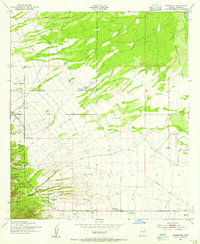
1952 Map of Nicksville
USGS Topo · Published 1955About this map
Nicksville stands as the central hub of this Arizona landscape, positioned just east of the Coronado National Forest boundary. The area is defined by a dense concentration of named agricultural holdings and unique operations, most notably the Wintergreen Mink Ranch and the Smiling Tiger Ranch. These family-named landmarks, such as Rambo, Wilcox, and Kinjochity, are scattered across the terrain between the San Pedro River and the Huachuca foothills.
Find a feature on this map
28 named features on this map. Tap any name to fly to it.
Don’t see what you’re looking for? This feature index may not catch every label — zoom into the map to look around manually.
Map Details
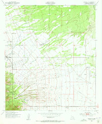
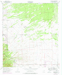
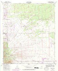
Editions of this 1952 Nicksville Map
4 editions found
Other maps of this area

1914 · Hereford
USGS Topo · 1:125,000

1915 · Benson
USGS Topo · 1:125,000

1922 · Sunnyside
USGS Topo · 1:62,500

1932 · Stark
USGS Topo · 1:62,500

1932 · Fairbank
USGS Topo · 1:62,500

1938 · Huachuca
USGS Topo · 1:62,500

1938 · Sunnyside
USGS Topo · 1:62,500

1943 · Benson
USGS Topo · 1:125,000

1948 · Miller Peak
USGS Topo · 1:24,000

1948 · Sunnyside SE
USGS Topo · 1:24,000