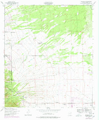
1952 Map of Nicksville
USGS Topo · Published 1978About this map
The Huachuca Mountains dominate the western edge of this Cochise County landscape, where deep drainages like Carr Canyon and Miller Canyon descend toward the valley floor. Settled primarily through a network of specialized ranching operations, the area includes the Wintergreen Mink Ranch, Smiling Tiger Ranch, and Kinjockity Ranch, illustrating the diverse agricultural history of the Arizona borderlands. Within the Coronado National Forest, mining activity is evidenced by the Bannerman Mine situated near Hunter Canyon.
Find a feature on this map
30 named features on this map. Tap any name to fly to it.
Don’t see what you’re looking for? This feature index may not catch every label — zoom into the map to look around manually.
Map Details
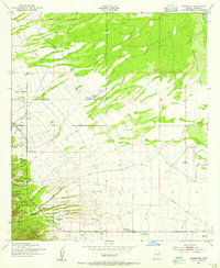
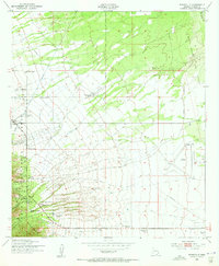
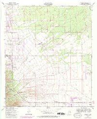
Editions of this 1952 Nicksville Map
4 editions found
Other maps of this area

1914 · Hereford
USGS Topo · 1:125,000

1915 · Benson
USGS Topo · 1:125,000

1922 · Sunnyside
USGS Topo · 1:62,500

1932 · Stark
USGS Topo · 1:62,500

1932 · Fairbank
USGS Topo · 1:62,500

1938 · Huachuca
USGS Topo · 1:62,500

1938 · Sunnyside
USGS Topo · 1:62,500

1943 · Benson
USGS Topo · 1:125,000

1948 · Miller Peak
USGS Topo · 1:24,000

1948 · Sunnyside SE
USGS Topo · 1:24,000