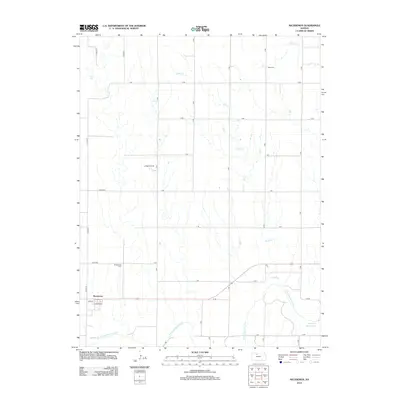
2012 Map of Nicodemus
USGS Topo · Published 2012About this map
Nicodemus remains a focal point of this Graham County landscape, where the historic settlement sits just north of the S Fork Solomon River. This 2012 survey documents the area's rural character, defined by a grid of agricultural roads and the presence of the La Sage Oil Field to the north. Water features heavily in the southeastern corner, where the S Fork Solomon River flows into the western reaches of the Webster Reservoir. For those tracing local heritage, the map identifies key burial sites including the Nicodemus Cem located on a rise northwest of the main townsite and the Slate Cem situated along the northern reaches of Slate Cr. The drainage patterns of Sand Cr and Spring Cr further illustrate the terrain of this high plains region, highlighting the relationship between the prairie landscape and its essential water sources.
Find a feature on this map
30 named features on this map. Tap any name to fly to it.
Don’t see what you’re looking for? This feature index may not catch every label — zoom into the map to look around manually.
Map Details
Editions of this 2012 Nicodemus Map
This is the sole edition of this map. No revisions or reprints were ever made.
Other maps of this area

1893 · Norton
USGS Topo · 1:125,000

1893 · Phillipsburg
USGS Topo · 1:125,000

1893 · Hill
USGS Topo · 1:125,000

1896 · Plainville
USGS Topo · 1:125,000

1952 · Webster Dam
USGS Topo · 1:24,000

1955 · Beloit
USGS Topo · 1:250,000

1959 · Beloit
USGS Topo · 1:250,000

1969 · Nicodemus
USGS Topo · 1:24,000

1969 · Palco
USGS Topo · 1:24,000

1969 · Stockton SW
USGS Topo · 1:24,000