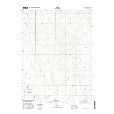
2016 Map of Nicodemus
USGS Topo · Published 2016About this map
Nicodemus stands as the central focus of this Graham County landscape, home to the Nicodemus National Historic Site. This area preserves the legacy of the only remaining town established by African Americans during the Reconstruction period following the Civil War. The settlement is situated north of the S Fork Solomon River, where the terrain is defined by the drainage of Slate Cr and Spring Cr.
Find a feature on this map
34 named features on this map. Tap any name to fly to it.
Don’t see what you’re looking for? This feature index may not catch every label — zoom into the map to look around manually.
Map Details
Editions of this 2016 Nicodemus Map
This is the sole edition of this map. No revisions or reprints were ever made.
Other maps of this area

1893 · Norton
USGS Topo · 1:125,000

1893 · Phillipsburg
USGS Topo · 1:125,000

1893 · Hill
USGS Topo · 1:125,000

1896 · Plainville
USGS Topo · 1:125,000

1952 · Webster Dam
USGS Topo · 1:24,000

1955 · Beloit
USGS Topo · 1:250,000

1959 · Beloit
USGS Topo · 1:250,000

1969 · Nicodemus
USGS Topo · 1:24,000

1969 · Palco
USGS Topo · 1:24,000

1969 · Stockton SW
USGS Topo · 1:24,000