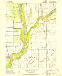
1952 Map of Nicolaus
USGS Topo · Published 1953About this map
The Feather River and its confluence with the Bear River dominate this Central Valley landscape, where an intricate system of levees protects a network of agricultural roads and rail lines. Near the center, the community of Nicolaus sits just east of the riverbank, supported by the nearby Nicolaus Cem and a Gaging Sta on the water. The map documents a deeply interconnected transportation corridor, featuring the Southern Pacific, Northern Sacramento Western Pacific, and Sacramento Northern railroads serving the orchard-rich lands between East Nicolaus and Trowbridge. Significant historical markers include the expansive Rancho Johnson to the northeast and smaller settlements like Rio Oso and Wilson. Local institutions like the East Nicolaus High Sch, Fairview Church, and the Browns School provide essential touchpoints for genealogists tracing families in this Sutter County river basin.
Find a feature on this map
50 named features on this map. Tap any name to fly to it.
Don’t see what you’re looking for? This feature index may not catch every label — zoom into the map to look around manually.
Map Details
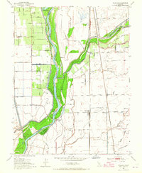
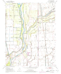
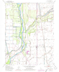
Editions of this 1952 Nicolaus Map
4 editions found
Other maps of this area

1888 · Marysville
USGS Topo · 1:125,000

1888 · Smartsville
USGS Topo · 1:125,000

1891 · Sacramento
USGS Topo · 1:125,000

1891 · Marysville
USGS Topo · 1:125,000

1891 · Smartsville
USGS Topo · 1:125,000

1892 · Sacramento
USGS Topo · 1:125,000

1892 · Smartsville
USGS Topo · 1:125,000

1893 · Sacramento
USGS Topo · 1:125,000

1894 · Smartsville
USGS Topo · 1:125,000

1894 · Marysville
USGS Topo · 1:125,000