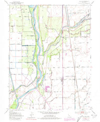
1952 Map of Nicolaus
USGS Topo · Published 1981About this map
The Feather River dominates this landscape, its path and the complex system of levees defining the agricultural layout of Sutter and Yuba counties. The settlement of Nicolaus sits near the river bend, anchored by the Nicolaus Cem, while the interior plains are dotted with historic hubs like East Nicolaus, Rio Oso, and Trowbridge. These towns are connected by the tracks of the Southern Pacific and Western Pacific railroads, reflecting the transportation network essential for the region's mid-century farming economy.
Find a feature on this map
49 named features on this map. Tap any name to fly to it.
Don’t see what you’re looking for? This feature index may not catch every label — zoom into the map to look around manually.
Map Details
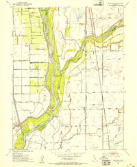
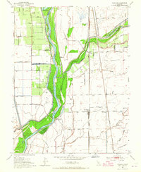
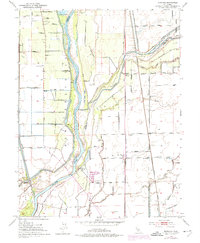
Editions of this 1952 Nicolaus Map
4 editions found
Other maps of this area

1888 · Marysville
USGS Topo · 1:125,000

1888 · Smartsville
USGS Topo · 1:125,000

1891 · Sacramento
USGS Topo · 1:125,000

1891 · Marysville
USGS Topo · 1:125,000

1891 · Smartsville
USGS Topo · 1:125,000

1892 · Sacramento
USGS Topo · 1:125,000

1892 · Smartsville
USGS Topo · 1:125,000

1893 · Sacramento
USGS Topo · 1:125,000

1894 · Smartsville
USGS Topo · 1:125,000

1894 · Marysville
USGS Topo · 1:125,000