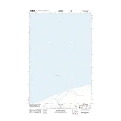
2011 Map of Nighthawk Creek
USGS Topo · Published 2011About this map
Lake Superior dominates the northern reaches of this coastal Michigan survey, defining the shoreline of Ironwood Township. The landscape is characterized by its transition from the Great Lakes waters to the timbered terrain of the Upper Peninsula, where drainage is managed by small coastal streams. Nighthawk Creek flows northward toward the lake, cutting through a topography that remains largely undeveloped. Human activity is concentrated along the southern edge of the sheet, marked by the presence of Jarvi Rd, which serves as a primary access point for the region’s rural residents and local land management. This map illustrates the intersection of a vast freshwater system with the quiet, wooded interior of Gogebic County during the early twenty-first century.
Find a feature on this map
3 named features on this map. Tap any name to fly to it.
Don’t see what you’re looking for? This feature index may not catch every label — zoom into the map to look around manually.
Map Details
Editions of this 2011 Nighthawk Creek Map
This is the sole edition of this map. No revisions or reprints were ever made.
Other maps of this area

1943 · Little Girls Point
USGS Topo · 1:24,000

1943 · Little Girl Point
USGS Topo · 1:48,000

1953 · Ashland
USGS Topo · 1:250,000

1956 · North Ironwood
USGS Topo · 1:62,500
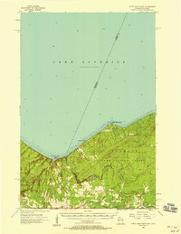
1956 · Little Girls Point
USGS Topo · 1:62,500

1958 · Ashland
USGS Topo · 1:250,000
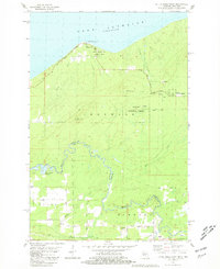
1980 · Little Girls Point
USGS Topo · 1:24,000
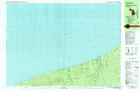
1980 · Black River Harbor
USGS Topo · 1:25,000
1989 · Ashland
USGS Topo · 1:100,000
1999 · North Ironwood
USGS Topo · 1:24,000