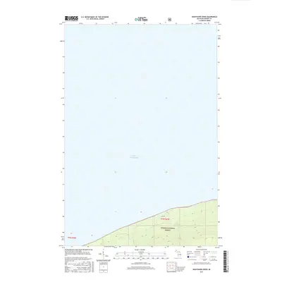
2017 Map of Nighthawk Creek
USGS Topo · Published 2017About this map
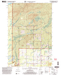
Lake Superior dominates the northern expanse of this coastal study, its shoreline forming the dramatic boundary of the Ottawa National Forest in Michigan's Upper Peninsula. The landscape is defined by the steep elevation gains as the terrain rises sharply from the lake level toward the interior of t49n r47w and t49n r48w. Water drainage is oriented northward, with Nighthawk Cr and Ghost Cr cutting through the forested slopes before reaching the big lake. Human presence is limited to the southeastern corner of the quadrangle, where Jarvi Rd provides access into the heavily timbered interior. The map illustrates a largely wild shoreline, where the primary infrastructure consists of section boundaries and forestry management lines rather than dense settlement.
Find a feature on this map
19 named features on this map. Tap any name to fly to it.
Don’t see what you’re looking for? This feature index may not catch every label — zoom into the map to look around manually.
Map Details
Editions of this 2017 Nighthawk Creek Map
This is the sole edition of this map. No revisions or reprints were ever made.
Other maps of this area

1943 · Little Girls Point
USGS Topo · 1:24,000

1943 · Little Girl Point
USGS Topo · 1:48,000

1953 · Ashland
USGS Topo · 1:250,000

1956 · North Ironwood
USGS Topo · 1:62,500
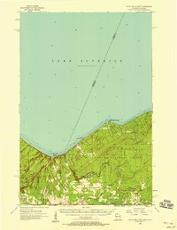
1956 · Little Girls Point
USGS Topo · 1:62,500

1958 · Ashland
USGS Topo · 1:250,000
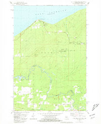
1980 · Little Girls Point
USGS Topo · 1:24,000
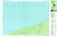
1980 · Black River Harbor
USGS Topo · 1:25,000
1989 · Ashland
USGS Topo · 1:100,000
1999 · North Ironwood
USGS Topo · 1:24,000