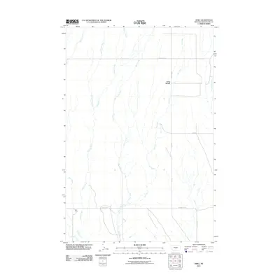
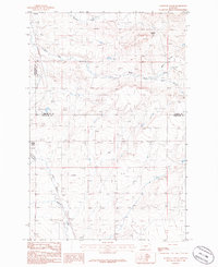
2011 Map of Nihill
USGS Topo · Published 2011About this map
Living Springs and the drainage basins of central Montana define this 2011 survey of Wheatland County. The landscape is characterized by a series of north-south watercourses, including Elk Creek, Timber Creek, and Galloway Creek, which carve through the high plains. This network of seasonal and perennial streams suggests a territory managed for ranching and large-scale agriculture, where water access dictates the layout of the land.
Find a feature on this map
15 named features on this map. Tap any name to fly to it.
Don’t see what you’re looking for? This feature index may not catch every label — zoom into the map to look around manually.
Map Details
Editions of this 2011 Nihill Map
This is the sole edition of this map. No revisions or reprints were ever made.
Other maps of this area

1889 · Big Snowy Mountain
USGS Topo · 1:250,000

1893 · Big Snowy Mountain
USGS Topo · 1:250,000

1954 · Roundup
USGS Topo · 1:250,000

1958 · Roundup
USGS Topo · 1:250,000
1986 · Yaple Bench
USGS Topo · 1:24,000
1986 · Snow Saucer Coulee
USGS Topo · 1:24,000

1986 · Halbert Creek South
USGS Topo · 1:24,000

1986 · Halbert Creek North
USGS Topo · 1:24,000
1986 · Oxford
USGS Topo · 1:24,000
1986 · Elephant Rocks
USGS Topo · 1:24,000