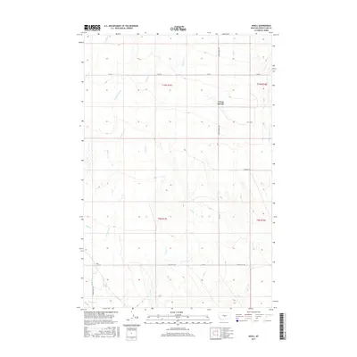
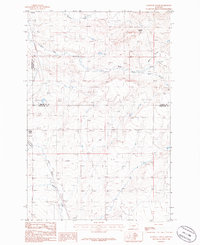
2017 Map of Nihill
USGS Topo · Published 2017About this map
Living Springs and Nihill represent the quiet settlement pattern of central Montana's high plains in Wheatland County. The landscape is defined by a dense network of intermittent drainages, including Galloway Cr and its western branch, W Galloway Cr, which carve through the terrain as they flow toward the south and east. These waterways, along with Timber Cr and Elk Cr, dictate the placement of local infrastructure, where section-line roads often give way to the natural contours of the drainage basins.
Find a feature on this map
21 named features on this map. Tap any name to fly to it.
Don’t see what you’re looking for? This feature index may not catch every label — zoom into the map to look around manually.
Map Details
Editions of this 2017 Nihill Map
This is the sole edition of this map. No revisions or reprints were ever made.
Other maps of this area

1889 · Big Snowy Mountain
USGS Topo · 1:250,000

1893 · Big Snowy Mountain
USGS Topo · 1:250,000

1954 · Roundup
USGS Topo · 1:250,000

1958 · Roundup
USGS Topo · 1:250,000
1986 · Yaple Bench
USGS Topo · 1:24,000
1986 · Snow Saucer Coulee
USGS Topo · 1:24,000

1986 · Halbert Creek South
USGS Topo · 1:24,000

1986 · Halbert Creek North
USGS Topo · 1:24,000
1986 · Oxford
USGS Topo · 1:24,000
1986 · Elephant Rocks
USGS Topo · 1:24,000