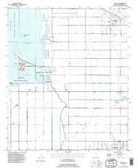
1992 Map of Niland
USGS Topo · Published 1995About this map
The Salton Sea shoreline dominates the western edge of this landscape, where the Salton Sea National Wildlife Refuge meets a strictly ordered agricultural grid. This 1990s revision reveals the complex irrigation system of the Imperial Valley, with an alphabetical series of drains and laterals—from U Lateral Drain 31 down to H Drain 3—channeling water toward the sea. The map documents the industrial and civic infrastructure supporting the region, including the Carbon Dioxide Wells near the shore and the prominent Calipatria State Prison complex to the southeast.
Find a feature on this map
74 named features on this map. Tap any name to fly to it.
Don’t see what you’re looking for? This feature index may not catch every label — zoom into the map to look around manually.
Map Details
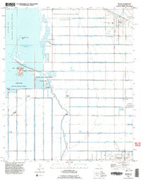
Editions of this 1992 Niland Map
2 editions found
Other maps of this area

1940 · Iris
USGS Topo · 1:62,500

1940 · Frink
USGS Topo · 1:62,500

1940 · Iris Pass
USGS Topo · 1:62,500

1944 · Calipatria
USGS Topo · 1:62,500

1944 · Frink
USGS Topo · 1:62,500

1945 · Iris Pass
USGS Topo · 1:62,500

1945 · Iris
USGS Topo · 1:62,500

1954 · Salton Sea
USGS Topo · 1:250,000

1955 · Salton Sea
USGS Topo · 1:250,000
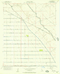
1956 · Iris
USGS Topo · 1:24,000