Loading...
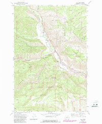
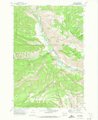
Loading map...1971 Map of Nile
USGS Topo · Published 1987About this map
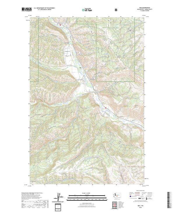
The Naches River valley serves as the central artery for this mountainous region of Yakima County, where the small settlement of Nile marks the transition from the river bottom to the high ridges. Following the winding course of the Nile Road, the landscape is defined by the sharp verticality of Cleman Mountain to the northeast and the expansive Bethel Ridge to the southwest. The presence of the Rattlesnake Ranger Station and Hanging Tree Campground underscores the area's long-standing role as a gateway for forestry and recreation.
Find a feature on this map
37 named features on this map. Tap any name to fly to it.
Don’t see what you’re looking for? This feature index may not catch every label — zoom into the map to look around manually.
Map Details
Date Portrayed1971
Date Published1987
PublisherU.S. Geological Survey
Map TypeTopographic
Scale1:24000
Physical Dimensions22.1 x 26.9 inches
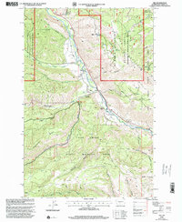
Editions of this 1971 Nile Map
2 editions found
Historical Maps of Nile Through Time
Featured Locations
Source Details
SourceU.S. Geological Survey
CopyrightPublic Domain