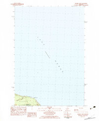
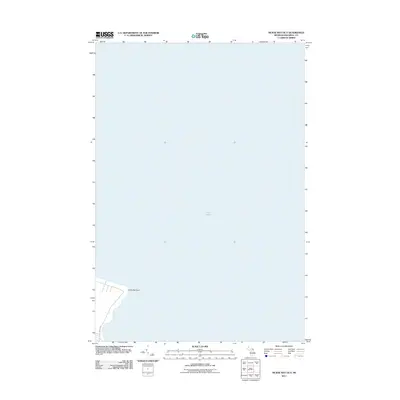
1982 Map of Nilemile Point
USGS Topo · Published 1983About this map
Lake Huron dominates this coastal survey, where the waters meet the northern shoreline of the Lower Peninsula at Ninemile Point. This point serves as a distinct geographical marker along the lake, located just east of Greene Creek as it empties into the lake. The map documents the boundary between Cheboygan and Presque Isle counties, cutting through the townships of Benton and Bearinger. The terrain is primarily defined by the water's edge, noted with an approximate mean lake elevation of 177 meters. Aside from the shoreline itself, the Roadside Park near the point indicates a established stop for travelers along the coastal route in the early 1980s. This transitional space between the vast lake and the wooded interior provides a clear view of the land-water relationship before further modern development altered the shoreline corridor.
Find a feature on this map
8 named features on this map. Tap any name to fly to it.
Don’t see what you’re looking for? This feature index may not catch every label — zoom into the map to look around manually.
Map Details
Editions of this 1982 Nilemile Point Map
This is the sole edition of this map. No revisions or reprints were ever made.
Other maps of this area

1955 · Cheboygan
USGS Topo · 1:250,000

1957 · Cheboygan
USGS Topo · 1:62,500

1958 · Cheboygan
USGS Topo · 1:250,000

1958 · Grace
USGS Topo · 1:62,500

1982 · Cordwood Point
USGS Topo · 1:25,000

1982 · Grace
USGS Topo · 1:24,000
1982 · Manning
USGS Topo · 1:25,000
1984 · Cheboygan
USGS Topo · 1:100,000
2011 · Manning
USGS Topo · 1:24,000
2011 · McRae Bay OE E
USGS Topo · 1:24,000