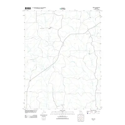
2012 Map of Nind
USGS Topo · Published 2012About this map
Mussel Fork and its tributaries carve a branching network across this rural landscape, defining the local topography and settlement patterns. Small communities like Loeffler and Nind serve as focal points for the surrounding agricultural area, connected by a grid of county roads and distinctive tracks such as Nind Trl. The map documents a quiet, enduring rural infrastructure, where the Loeffler Post Office and Tullivania Post Office once anchored local communications. For those tracing family histories or early land use, the presence of Hall Cemetery, Cheeseman Cemetery, and Worley Cemetery provides specific points of interest. The terrain is dominated by the drainages of Little Mussel Creek and Little Walnut Creek, illustrating the natural watercourses that have influenced field boundaries and road placements for generations.
Find a feature on this map
49 named features on this map. Tap any name to fly to it.
Don’t see what you’re looking for? This feature index may not catch every label — zoom into the map to look around manually.
Map Details
Editions of this 2012 Nind Map
This is the sole edition of this map. No revisions or reprints were ever made.
Other maps of this area

1937 · Elmer
USGS Topo · 1:48,000

1938 · Kirksville
USGS Topo · 1:62,500

1940 · Kirksville
USGS Topo · 1:62,500

1942 · Elmer
USGS Topo · 1:62,500

1949 · Bucklin NW
USGS Topo · 1:24,000

1950 · Bucklin NW
USGS Topo · 1:24,000

1951 · New Boston
USGS Topo · 1:24,000

1953 · Moberly
USGS Topo · 1:250,000

1954 · Centerville
USGS Topo · 1:250,000

1954 · Moberly
USGS Topo · 1:250,000