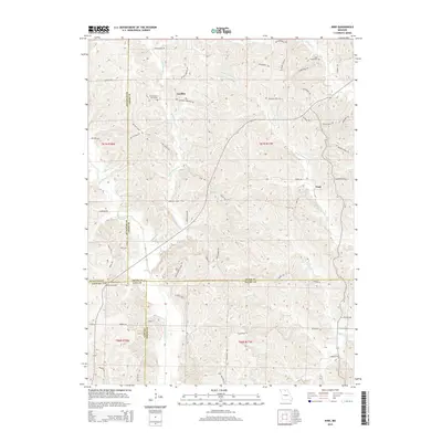
2015 Map of Nind
USGS Topo · Published 2015About this map
Cheeseman Cemetery and Hall Cemetery stand as quiet landmarks in the northern reaches of this Missouri landscape, which sits at the intersection of Adair, Sullivan, Linn, and Macon counties. The topography is defined by the drainages of the Mussel Fork and its tributary Little Mussel Cr, which weave through a network of ridge-top trails and rural roads. The tiny settlements of Loeffler and Nind are connected by namesake paths like Loeffler Store Trl, reflecting a localized transportation pattern where ridges dictate the movement between farmsteads and small community centers. To the south, the Worley Cemetery and features like Montgomery Woods Trl suggest a long-established rural layout. This survey captures a specific moment in the mid-2010s where modern naming conventions for recreational or access trails, such as Whimsy Trl and Doc Angus TRL, coexist with traditional family-named landmarks and historical watercourses like Little Walnut Cr.
Find a feature on this map
61 named features on this map. Tap any name to fly to it.
Don’t see what you’re looking for? This feature index may not catch every label — zoom into the map to look around manually.
Map Details
Editions of this 2015 Nind Map
This is the sole edition of this map. No revisions or reprints were ever made.
Other maps of this area

1937 · Elmer
USGS Topo · 1:48,000

1938 · Kirksville
USGS Topo · 1:62,500

1940 · Kirksville
USGS Topo · 1:62,500

1942 · Elmer
USGS Topo · 1:62,500

1949 · Bucklin NW
USGS Topo · 1:24,000

1950 · Bucklin NW
USGS Topo · 1:24,000

1951 · New Boston
USGS Topo · 1:24,000

1953 · Moberly
USGS Topo · 1:250,000

1954 · Centerville
USGS Topo · 1:250,000

1954 · Moberly
USGS Topo · 1:250,000