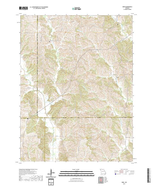
2021 Map of Nind
USGS Topo · Published 2021About this map
The settlement of Nind serves as a central point in this rural landscape where the borders of Adair, Sullivan, Linn, and Macon counties converge. The terrain is deeply defined by the drainage systems of Mussel Fork, Little Mussel Cr, and Little Walnut Cr, which carve through the countryside and influence the placement of local thoroughfares. These routes, often identified as historic trails, such as Loeffler Store Trl and Prairie Grove Trl, suggest a legacy of local commerce and connectivity between family farms.
Find a feature on this map
57 named features on this map. Tap any name to fly to it.
Don’t see what you’re looking for? This feature index may not catch every label — zoom into the map to look around manually.
Map Details
Editions of this 2021 Nind Map
This is the sole edition of this map. No revisions or reprints were ever made.
Other maps of this area

1937 · Elmer
USGS Topo · 1:48,000

1938 · Kirksville
USGS Topo · 1:62,500

1940 · Kirksville
USGS Topo · 1:62,500

1942 · Elmer
USGS Topo · 1:62,500

1949 · Bucklin NW
USGS Topo · 1:24,000

1950 · Bucklin NW
USGS Topo · 1:24,000

1951 · New Boston
USGS Topo · 1:24,000

1953 · Moberly
USGS Topo · 1:250,000

1954 · Centerville
USGS Topo · 1:250,000

1954 · Moberly
USGS Topo · 1:250,000