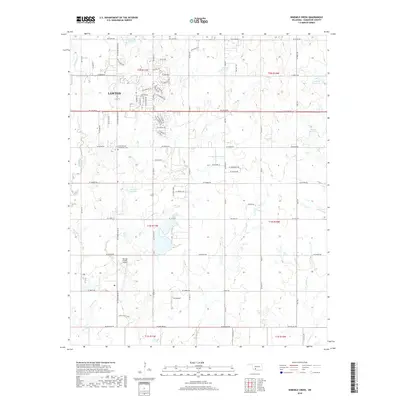
2018 Map of Ninemile Creek
USGS Topo · Published 2018About this map
Lawton expands eastward in this late 2010s survey, showing the transition from dense residential blocks to rural Comanche County plains. The southeastern residential district features a complex network of suburban streets such as SE Ford Rd, SE Churchill Way, and SE Camelot Dr before giving way to large-lot agricultural parcels and open terrain. The landscape is defined by its water management and aviation history, with numerous numbered reservoirs dotting the drainage basins of Ninemile Cr and Gooden Cr. Rural landmarks including the Flower Mound Community Cem, Hill Top Private Airport, and DJS Airport reflect a community layout where aviation and historical local sites are integrated into the working landscape.
Find a feature on this map
47 named features on this map. Tap any name to fly to it.
Don’t see what you’re looking for? This feature index may not catch every label — zoom into the map to look around manually.
Map Details
Editions of this 2018 Ninemile Creek Map
This is the sole edition of this map. No revisions or reprints were ever made.
Other maps of this area

1946 · Lawton
USGS Topo · 1:62,500

1949 · Arbuckle Hill
USGS Topo · 1:24,000

1949 · Fort Sill
USGS Topo · 1:24,000

1949 · Nellie
USGS Topo · 1:62,500

1955 · Lawton
USGS Topo · 1:250,000

1956 · Sterling
USGS Topo · 1:24,000

1956 · Ninemile Creek
USGS Topo · 1:24,000

1956 · Arbuckle Hill
USGS Topo · 1:24,000
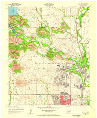
1956 · Fort Sill
USGS Topo · 1:24,000

1956 · Lawton
USGS Topo · 1:24,000