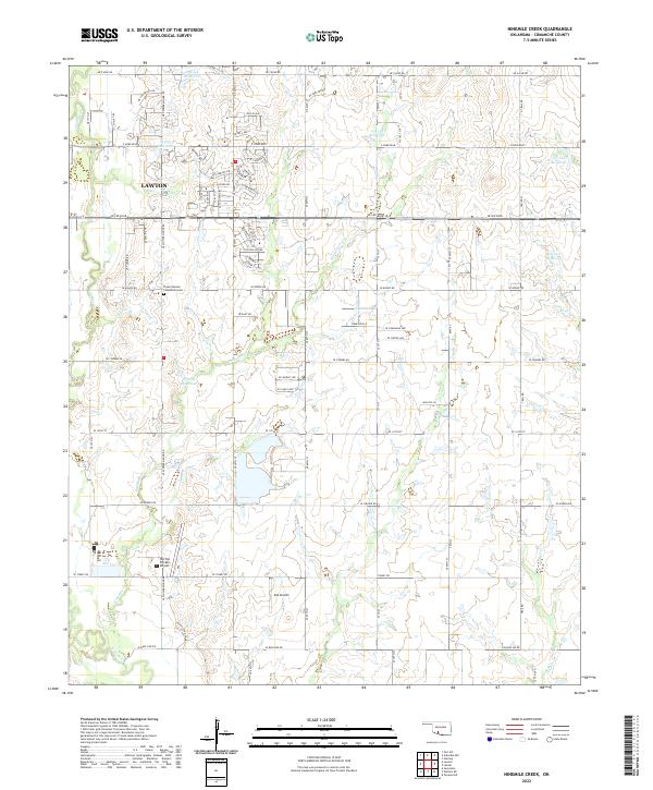
2022 Map of Ninemile Creek
USGS Topo · Published 2022About this map
Flower Mound stands as a prominent natural landmark in this eastern portion of Lawton, marking the transition between the urbanized residential streets and the rural landscape of Comanche County. The map details a dense network of suburban development north of SE Lee Blvd, while the southern reaches reveal a more open, hydrologically active terrain defined by the winding paths of Ninemile Cr and Gooden Cr. Aviation activity is represented by two local landing strips, Hill Top Private Airport and DJS Airport, which serve the agricultural and private needs of the region.
Find a feature on this map
77 named features on this map. Tap any name to fly to it.
Don’t see what you’re looking for? This feature index may not catch every label — zoom into the map to look around manually.
Map Details
Editions of this 2022 Ninemile Creek Map
This is the sole edition of this map. No revisions or reprints were ever made.
Other maps of this area

1946 · Lawton
USGS Topo · 1:62,500

1949 · Arbuckle Hill
USGS Topo · 1:24,000

1949 · Fort Sill
USGS Topo · 1:24,000

1949 · Nellie
USGS Topo · 1:62,500

1955 · Lawton
USGS Topo · 1:250,000

1956 · Sterling
USGS Topo · 1:24,000

1956 · Ninemile Creek
USGS Topo · 1:24,000

1956 · Arbuckle Hill
USGS Topo · 1:24,000
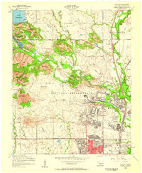
1956 · Fort Sill
USGS Topo · 1:24,000

1956 · Lawton
USGS Topo · 1:24,000