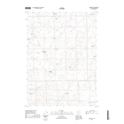
2017 Map of Ninemile Hill
USGS Topo · Published 2017About this map
Ninemile Hill rises as the central geographic landmark in this high-plains landscape of Fremont County, defined by a sophisticated network of water management features. The area is marked by numerous man-made catchments including Lander Valley Reservoir, Hopkins Reservoir, and Rate Reservoir, which indicate the vital importance of water storage for livestock or irrigation in this arid Wyoming environment. To the west, Monument Butte and Coal Mine Draw suggest a history of resource extraction or at least recognizable landmarks for early travelers. The drainage patterns are clearly delineated through features like Haynes Draw and the South Fork Ballenger Draw, which feed into natural basins like Red Lake. Modern access to this remote terrain is provided by unpaved routes such as Beaver Creek Rd and the descriptively named Strutting Ground Rd.
Find a feature on this map
28 named features on this map. Tap any name to fly to it.
Don’t see what you’re looking for? This feature index may not catch every label — zoom into the map to look around manually.
Map Details
Editions of this 2017 Ninemile Hill Map
This is the sole edition of this map. No revisions or reprints were ever made.
Other maps of this area

1952 · Hudson
USGS Topo · 1:24,000

1952 · Lander SE
USGS Topo · 1:24,000

1953 · Arapahoe NE
USGS Topo · 1:24,000

1953 · Ninemile Hill
USGS Topo · 1:24,000

1953 · Bringolf Ranch
USGS Topo · 1:24,000

1953 · Arapahoe
USGS Topo · 1:24,000

1953 · Del Monte Ridge
USGS Topo · 1:24,000

1953 · Yellowstone Ranch
USGS Topo · 1:24,000

1953 · Weiser Pass
USGS Topo · 1:24,000

1955 · Lander
USGS Topo · 1:250,000