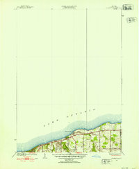
1952 Map of Ninemile Point
USGS Topo · Published 1952About this map
Lake Ontario defines the northern reaches of this 1952 revision, where the shoreline of Webster meets the expansive waters at Ninemile Point. The map details a period of transition as the lakeside area near Webster Beach County Park and Fourmile Creek maintains its rural character through a grid of local roads named for early families, such as Whiting Road and Phillips Road.
Find a feature on this map
17 named features on this map. Tap any name to fly to it.
Don’t see what you’re looking for? This feature index may not catch every label — zoom into the map to look around manually.
Map Details
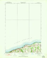
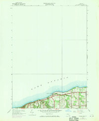
Editions of this 1952 Ninemile Point Map
3 editions found
Other maps of this area

1895 · Rochester
USGS Topo · 1:62,500

1895 · Ontario Beach
USGS Topo · 1:62,500

1898 · Rochester
USGS Topo · 1:62,500

1899 · Ontario Beach
USGS Topo · 1:62,500

1900 · Macedon
USGS Topo · 1:62,500

1912 · Rochester
USGS Topo · 1:62,500

1912 · Ontario Beach
USGS Topo · 1:62,500

1920 · Rochester
USGS Topo · 1:62,500

1931 · Rochester East
USGS Topo · 1:24,000

1932 · Webster
USGS Topo · 1:24,000