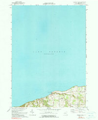
1971 Map of Ninemile Point
USGS Topo · Published 1990About this map
Lake Ontario dominates this 1971 survey of the shoreline where the Monroe and Wayne County line meets the water. The map captures the suburban and recreational development of the northern Webster area, anchored by the expansive grounds of Webster Park and the prominent geological feature of Ninemile Point. This coastal landscape is defined by its drainage into the lake, with Mill Creek, Fourmile Creek, and Deer Creek cutting through the terrain toward the shoreline.
Find a feature on this map
21 named features on this map. Tap any name to fly to it.
Don’t see what you’re looking for? This feature index may not catch every label — zoom into the map to look around manually.
Map Details
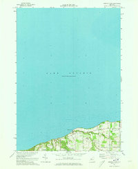
Editions of this 1971 Ninemile Point Map
2 editions found
Other maps of this area

1895 · Rochester
USGS Topo · 1:62,500

1895 · Ontario Beach
USGS Topo · 1:62,500

1898 · Rochester
USGS Topo · 1:62,500

1899 · Ontario Beach
USGS Topo · 1:62,500

1900 · Macedon
USGS Topo · 1:62,500

1912 · Rochester
USGS Topo · 1:62,500

1912 · Ontario Beach
USGS Topo · 1:62,500

1920 · Rochester
USGS Topo · 1:62,500

1931 · Rochester East
USGS Topo · 1:24,000

1932 · Webster
USGS Topo · 1:24,000