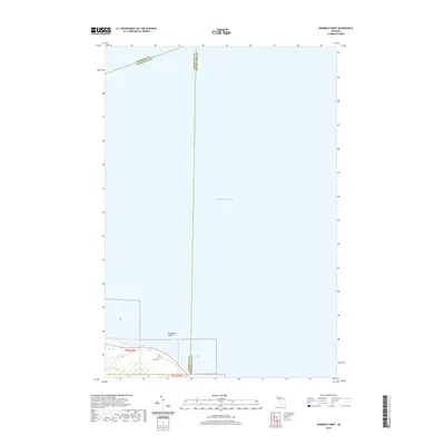
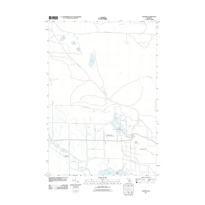
2019 Map of Ninemile Point
USGS Topo · Published 2019About this map
Ninemile Point defines this northern Lake Huron shoreline where the jurisdictional boundaries of Cheboygan and Presque Isle counties converge. In this 2019 survey, the landscape is primarily dominated by the waters of Lake Huron, with the land mass restricted to the southwestern corner of the sheet. The small coastal drainage of Greene Cr flows toward the lake, while Bates Rd provides local access near the shoreline. The mapping highlights the precise intersection of several county lines, including the aquatic boundary where Mackinac and Cheboygan counties meet in the open water north of the point. This modern topographic record is essential for understanding the contemporary shoreline and the complex multi-county maritime boundaries in the Straits of Mackinac region.
Find a feature on this map
8 named features on this map. Tap any name to fly to it.
Don’t see what you’re looking for? This feature index may not catch every label — zoom into the map to look around manually.
Map Details
Editions of this 2019 Ninemile Point Map
This is the sole edition of this map. No revisions or reprints were ever made.
Other maps of this area

1955 · Cheboygan
USGS Topo · 1:250,000

1957 · Cheboygan
USGS Topo · 1:62,500

1958 · Cheboygan
USGS Topo · 1:250,000

1958 · Grace
USGS Topo · 1:62,500

1982 · Cordwood Point
USGS Topo · 1:25,000

1982 · Grace
USGS Topo · 1:24,000
1982 · Nilemile Point
USGS Topo · 1:25,000
1982 · Manning
USGS Topo · 1:25,000
1984 · Cheboygan
USGS Topo · 1:100,000
2011 · Manning
USGS Topo · 1:24,000