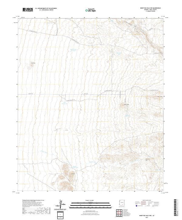
2021 Map of Ninetysix Hills NW
USGS Topo · Published 2021About this map
Ninetysix Hills and the surrounding high desert terrain dominate this Pinal County landscape, where water management is the primary marker of human activity. The map reveals a sophisticated network of catchments and tanks essential for ranching and survival in this arid environment, including Rincon Tank, Half Moon Tank, and Coyote Tank. These features, often the only reliable water sources for miles, underscore the historical reliance on seasonal runoff channeled through drainages like Paisano Wash and Box-O-Wash.
Find a feature on this map
28 named features on this map. Tap any name to fly to it.
Don’t see what you’re looking for? This feature index may not catch every label — zoom into the map to look around manually.
Map Details
Editions of this 2021 Ninetysix Hills NW Map
This is the sole edition of this map. No revisions or reprints were ever made.
Other maps of this area

1900 · Florence
USGS Topo · 1:125,000

1902 · Florence
USGS Topo · 1:125,000

1922 · Red Rock No 2
USGS Topo · 1:48,000

1934 · Newman Peak
USGS Topo · 1:125,000

1954 · Mesa
USGS Topo · 1:250,000

1956 · Tucson
USGS Topo · 1:250,000

1957 · Mesa
USGS Topo · 1:250,000

1958 · Mesa
USGS Topo · 1:250,000

1958 · Tucson
USGS Topo · 1:250,000

1959 · Tucson
USGS Topo · 1:250,000