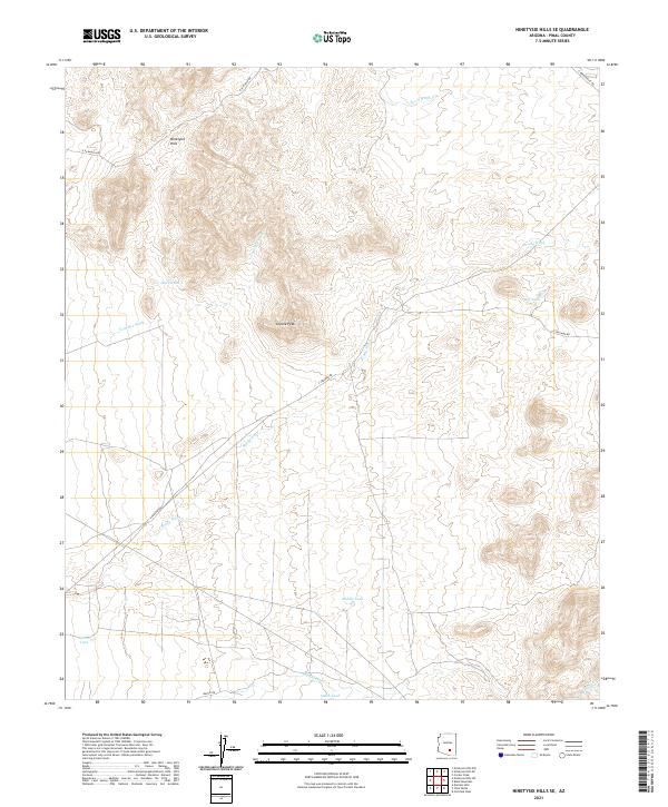
2021 Map of Ninetysix Hills SE
USGS Topo · Published 2021About this map
The Ninetysix Hills rise in the northern portion of this Pinal County landscape, providing a complex terrain of ridges and drainages that define the local hydrology. This 2021 survey reveals a territory primarily shaped by seasonal water management and desert ranching infrastructure. Arid washes such as Box O Wash, Tom Mix Wash, and the lengthy Brady Wash traverse the area, while human-made catchments like Buck Tank, Middle Tank, and South Tank provide vital water points across the desert floor. The presence of E 96 Ranch Rd and N Barkerville Rd suggests a landscape tied to cattle operations, where navigation relies on these named tanks and the prominent landmark of Coyote Peak. The map provides a clear view of the township and range system, marking transitions between t6s r12e and t7s r13e across this expanse of the Sonoran desert.
Find a feature on this map
21 named features on this map. Tap any name to fly to it.
Don’t see what you’re looking for? This feature index may not catch every label — zoom into the map to look around manually.
Map Details
Editions of this 2021 Ninetysix Hills SE Map
This is the sole edition of this map. No revisions or reprints were ever made.
Other maps of this area

1911 · Winkelman
USGS Topo · 1:125,000

1913 · Winkelman
USGS Topo · 1:125,000

1934 · Newman Peak
USGS Topo · 1:125,000

1949 · Crozier Peak
USGS Topo · 1:24,000

1949 · Winkelman
USGS Topo · 1:62,500

1949 · Black Mountain
USGS Topo · 1:24,000
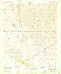
1950 · Crozier Peak
USGS Topo · 1:24,000
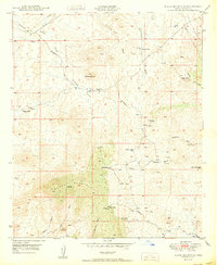
1950 · Black Mountain
USGS Topo · 1:24,000
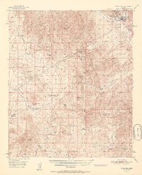
1951 · Winkelman
USGS Topo · 1:62,500

1956 · Tucson
USGS Topo · 1:250,000