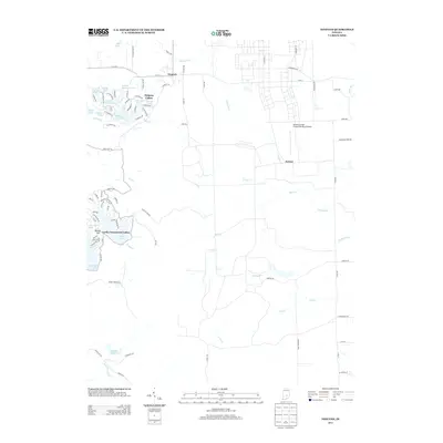
2013 Map of Nineveh
USGS Topo · Published 2013About this map
Nineveh serves as a primary hub for this portion of Johnson County, situated at the headwaters of Nineveh Cr. To the west, the landscape is defined by an intricate network of residential lake communities, including Princes Lakes and Cordry Sweetwater Lakes. These developments wrap around numerous small water bodies such as Princes White Lake, Riley Lake, and Princes Northeast Lake, reflecting the post-war trend of recreational water-front living in southern Indiana.
Find a feature on this map
92 named features on this map. Tap any name to fly to it.
Don’t see what you’re looking for? This feature index may not catch every label — zoom into the map to look around manually.
Map Details
Editions of this 2013 Nineveh Map
This is the sole edition of this map. No revisions or reprints were ever made.
Other maps of this area

1942 · Franklin
USGS Topo · 1:125,000

1942 · Columbus
USGS Topo · 1:125,000

1947 · Nashville
USGS Topo · 1:24,000

1947 · Franklin
USGS Topo · 1:62,500

1948 · Franklin
USGS Topo · 1:24,000

1948 · Edinburg
USGS Topo · 1:24,000

1948 · New Bellsville
USGS Topo · 1:24,000

1948 · Trafalgar
USGS Topo · 1:24,000

1948 · Nineveh
USGS Topo · 1:24,000

1948 · Marietta
USGS Topo · 1:24,000