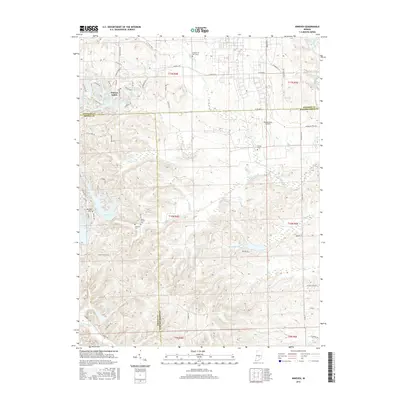
2016 Map of Nineveh
USGS Topo · Published 2016About this map
Princes Lakes anchors the northwest corner of this Indiana landscape, a community defined by its cluster of water bodies including Princes White Lake, Princes N Lake, and Princes E Lake. The map reveals a military legacy in the eastern section, where Himsel Army Airfield is located near the Prisoner of War Camp, providing a detailed look at federal land use in Johnson County during this era. To the south, the topography becomes more complex around Renner Hill and the interconnected waters of Cordry Lake and Sweetwater Lake. Genealogy researchers will find several local burial grounds recorded, such as Kansas Cem and Mount Moriah Cem. The drainage patterns are clearly marked by the branching systems of Nineveh Creek, Mud Creek, and Saddle Cr, which flow through the rolling terrain spanning the borders of Bartholomew and Brown counties.
Find a feature on this map
77 named features on this map. Tap any name to fly to it.
Don’t see what you’re looking for? This feature index may not catch every label — zoom into the map to look around manually.
Map Details
Editions of this 2016 Nineveh Map
This is the sole edition of this map. No revisions or reprints were ever made.
Other maps of this area

1942 · Franklin
USGS Topo · 1:125,000

1942 · Columbus
USGS Topo · 1:125,000

1947 · Nashville
USGS Topo · 1:24,000

1947 · Franklin
USGS Topo · 1:62,500

1948 · Franklin
USGS Topo · 1:24,000

1948 · Edinburg
USGS Topo · 1:24,000

1948 · New Bellsville
USGS Topo · 1:24,000

1948 · Trafalgar
USGS Topo · 1:24,000

1948 · Nineveh
USGS Topo · 1:24,000

1948 · Marietta
USGS Topo · 1:24,000