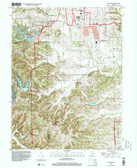
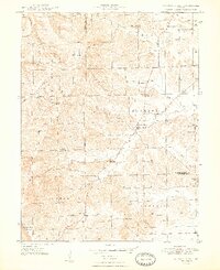
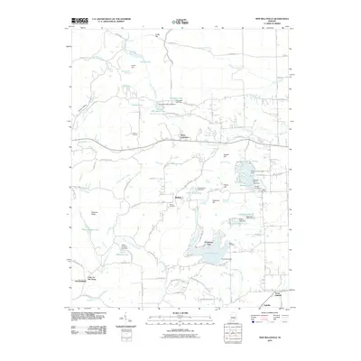
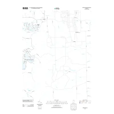
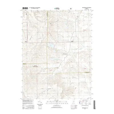
1998 Map of Nineveh
USGS Topo · Published 2000About this map
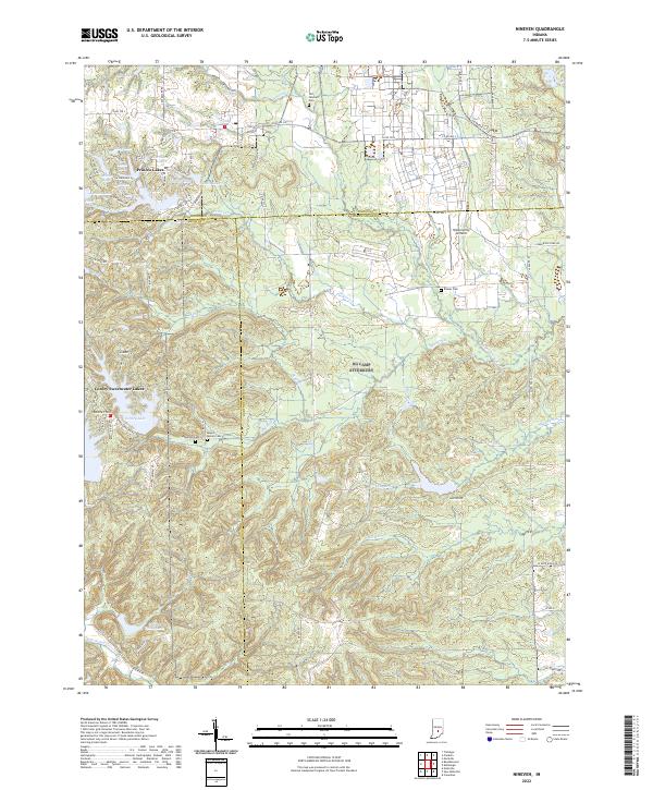
Camp Atterbury Military Reservation dominates the central portion of this landscape, a significant installation that includes the U S Army Hospital and the sobering Prisoner of War Cem in the north. The area shows a distinct contrast between the formal grid of the military reservation and the winding residential shorelines of Princes Lakes, Sweetwater Lake, and Cordry Lake.
Find a feature on this map
39 named features on this map. Tap any name to fly to it.
Don’t see what you’re looking for? This feature index may not catch every label — zoom into the map to look around manually.
Map Details
Editions of this 1998 Nineveh Map
This is the sole edition of this map. No revisions or reprints were ever made.
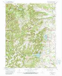
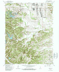
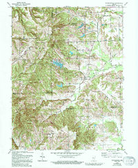
Historical Maps of Nineveh Through Time
23 maps found
1948 Edinburg
Bartholomew County, IN
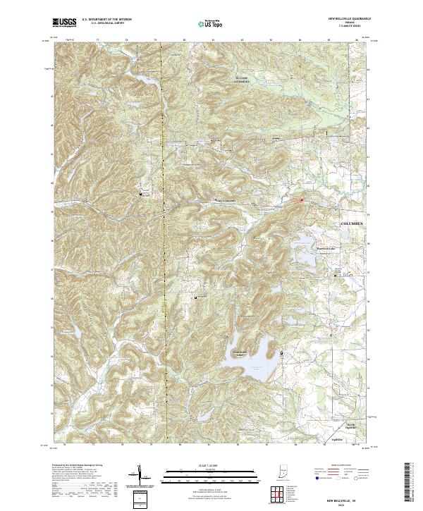
1948 New Bellsville
Bartholomew County, IN
1948 Nineveh
Bartholomew County, IN
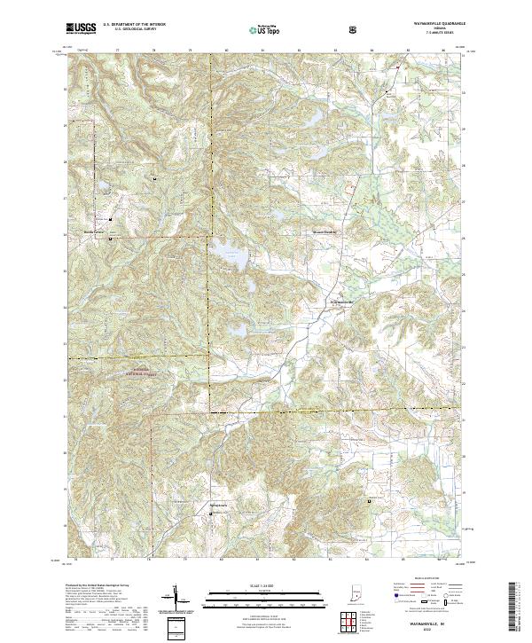
1948 Waymansville
Bartholomew County, IN
1962 New Bellsville
Bartholomew County, IN
1962 Nineveh
Bartholomew County, IN
1962 Waymansville
Bartholomew County, IN
1998 Nineveh
Bartholomew County, IN
2010 New Bellsville
Bartholomew County, IN
2010 Nineveh
Bartholomew County, IN
2011 Waymansville
Bartholomew County, IN
2013 New Bellsville
Bartholomew County, IN
2013 Nineveh
Bartholomew County, IN
2013 Waymansville
Bartholomew County, IN
2016 New Bellsville
Bartholomew County, IN
2016 Nineveh
Bartholomew County, IN
2016 Waymansville
Bartholomew County, IN
2019 New Bellsville
Bartholomew County, IN
2019 Nineveh
Bartholomew County, IN
2019 Waymansville
Bartholomew County, IN
2022 New Bellsville
Bartholomew County, IN
2022 Nineveh
Bartholomew County, IN
2022 Waymansville
Bartholomew County, IN