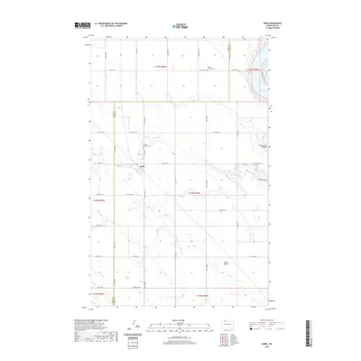
2020 Map of Niobe
USGS Topo · Published 2020About this map
Niobe anchors this section of the North Dakota plains, situated along the county line where Burke and Ward counties meet. The settlement is defined by its agricultural grid, with legacy sites like the Elmdale Lutheran Cem nearby. The landscape is carved by several distinct drainage features, most notably the Ankenbauer Coulee, Niobe Coulee, and Taskers Coulee, which disrupt the otherwise uniform sections. To the northeast, the terrain drops away into the valley of Upper Des Lacs Lake, where the Canada Goose Trail skirts the water's edge. This 2020 survey illustrates the enduring rural character of the region, where township roads such as 450th Ave NW and Co Hwy 2 serve as the primary conduits between isolated farmsteads and local landmarks like Bethany Lutheran Cem.
Find a feature on this map
44 named features on this map. Tap any name to fly to it.
Don’t see what you’re looking for? This feature index may not catch every label — zoom into the map to look around manually.
Map Details
Editions of this 2020 Niobe Map
This is the sole edition of this map. No revisions or reprints were ever made.
Other maps of this area

1947 · Bowbells
USGS Topo · 1:24,000

1948 · Kenmare
USGS Topo · 1:24,000

1948 · Coteau
USGS Topo · 1:24,000

1948 · Vanville NE
USGS Topo · 1:24,000

1949 · Mosquito Butte
USGS Topo · 1:24,000

1949 · Bowbells
USGS Topo · 1:24,000

1949 · Bowbells SE
USGS Topo · 1:24,000

1949 · Niobe
USGS Topo · 1:24,000

1949 · Coulee
USGS Topo · 1:24,000

1950 · Vanville NE
USGS Topo · 1:24,000