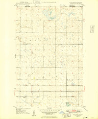
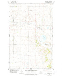
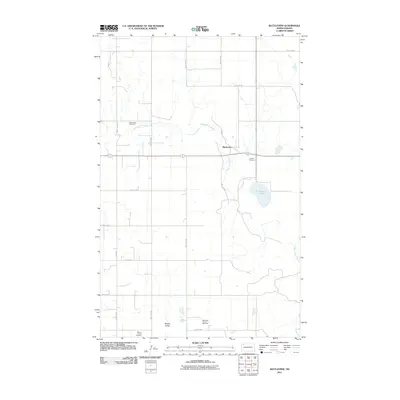
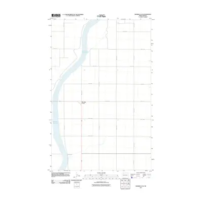
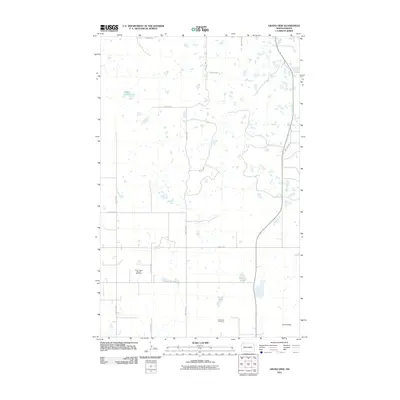
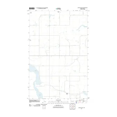
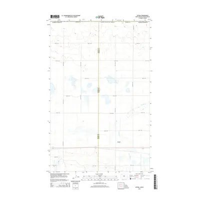
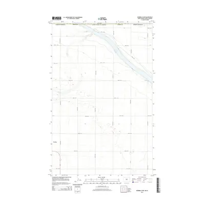
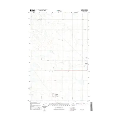
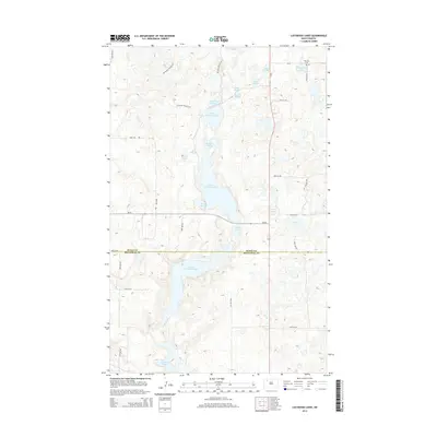
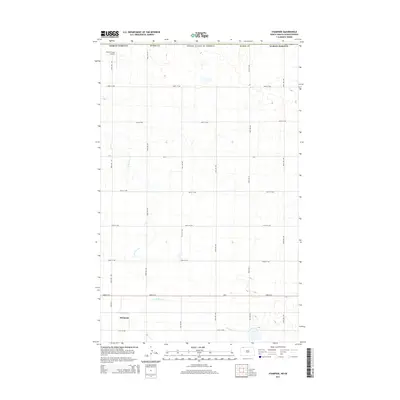
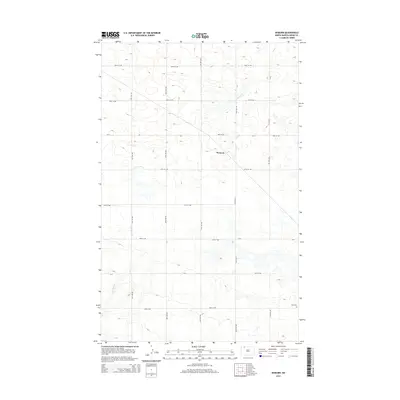
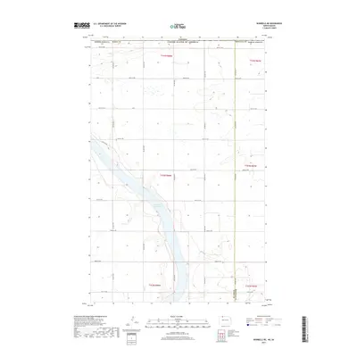
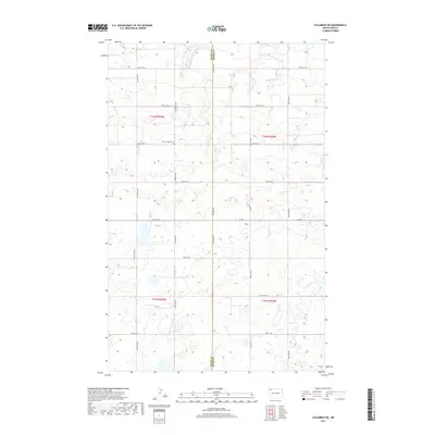
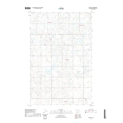
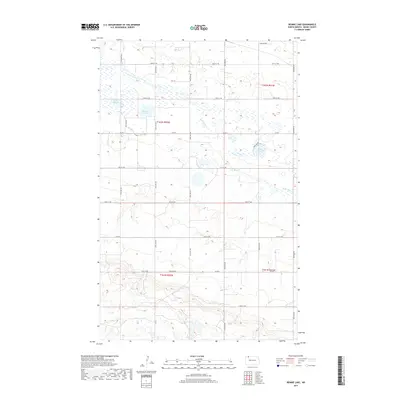
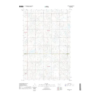
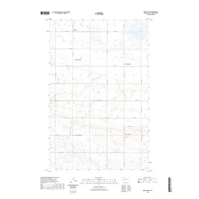
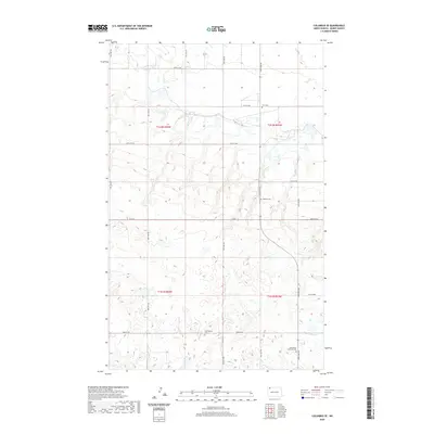
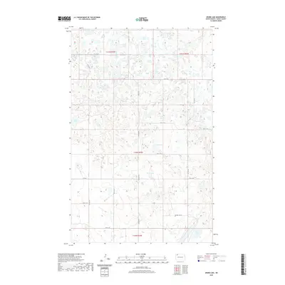
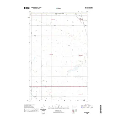
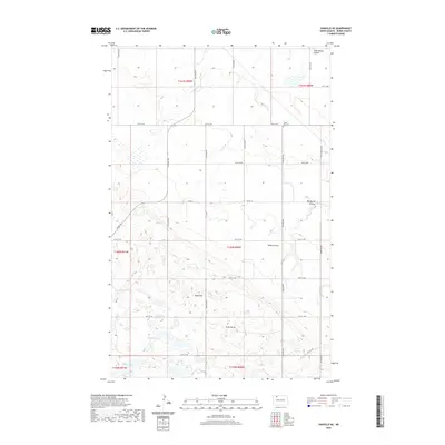
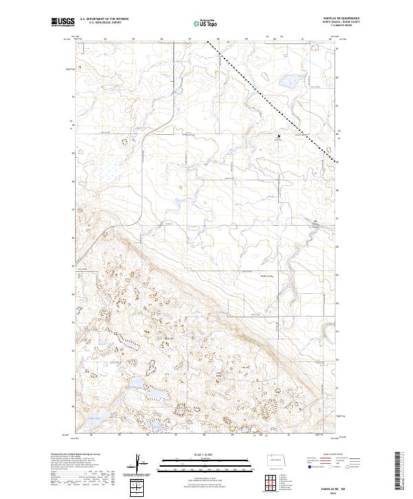
1950 Map of Vanville NE
USGS Topo · Published 1950About this map
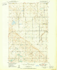
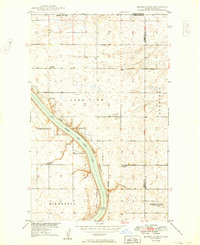
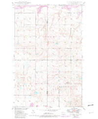
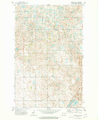
The prairie landscape of Burke County is defined by the glacial depressions and coulees of the Missouri River Basin development area. Surveyed at the midpoint of the twentieth century, the terrain is marked by significant topographical landmarks like Ward Hill and Little Butte, which overlook a network of seasonal watercourses. The Great Northern railroad cuts through the northeastern corner, following the natural drainage patterns of Ankenbauer Coulee. This map documents a rural educational landscape before school consolidation, preserving the locations of several one-room schoolhouses such as Big Spring Sch, Beck Sch, and Masters Sch. These structures, along with the family-named Martin Lakes and Jensen Lake, provide specific points of reference for genealogists tracing homesteads in the Roseland and Kandiyohi townships.
Find a feature on this map
20 named features on this map. Tap any name to fly to it.
Don’t see what you’re looking for? This feature index may not catch every label — zoom into the map to look around manually.
Map Details
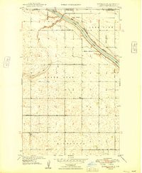
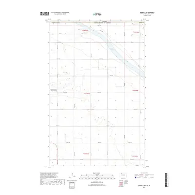
Editions of this 1950 Vanville NE Map
This is the sole edition of this map. No revisions or reprints were ever made.
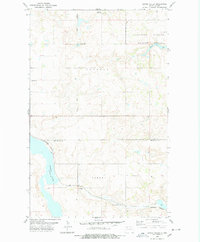
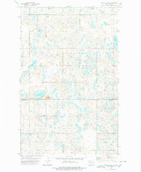
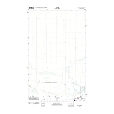
Historical Maps of Vanville Through Time
128 maps found
1947 Bowbells NW
Burke County, ND
1948 Beaver Lake
Burke County, ND
1948 Coteau
Burke County, ND
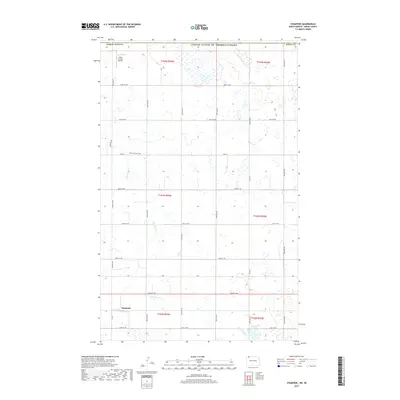
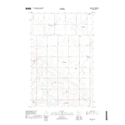
1948 Stampede
Burke County, ND
1948 Vanville NE
Burke County, ND
1948 Woburn
Burke County, ND
1949 Atcoal
Burke County, ND
1949 Bowbells NE
Burke County, ND
1949 Bowbells NW
Burke County, ND
1949 Bowbells SE
Burke County, ND
1949 Columbus SE
Burke County, ND
1949 Columbus SW
Burke County, ND
1949 Northgate
Burke County, ND
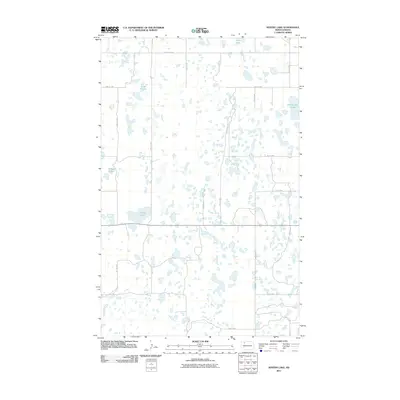
1949 Rennie Lake
Burke County, ND
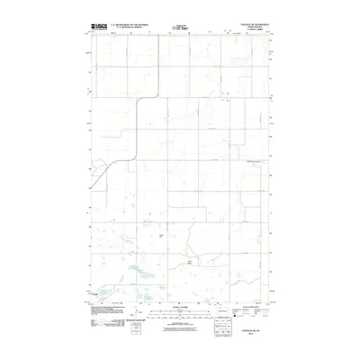
1950 Vanville NE
Burke County, ND
1974 Grand View
Burke County, ND
1974 Grubb Lake
Burke County, ND
1974 Helde Lake
Burke County, ND
1974 Lostwood Lakes
Burke County, ND
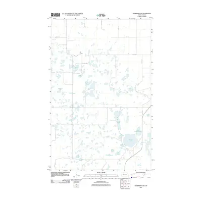
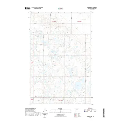
1974 Thompson Lake
Burke County, ND
1978 Battleview
Burke County, ND
1978 Lunds Valley
Burke County, ND
1978 Westby Lake
Burke County, ND
2011 Atcoal
Burke County, ND
2011 Battleview
Burke County, ND
2011 Beaver Lake
Burke County, ND
2011 Bowbells NE
Burke County, ND
2011 Bowbells NW
Burke County, ND
2011 Bowbells SE
Burke County, ND
2011 Columbus SE
Burke County, ND
2011 Columbus SW
Burke County, ND
2011 Coteau
Burke County, ND
2011 Grand View
Burke County, ND
2011 Grubb Lake
Burke County, ND
2011 Helde Lake
Burke County, ND
2011 Lostwood Lakes
Burke County, ND
2011 Lunds Valley
Burke County, ND
2011 Northgate
Burke County, ND
2011 Rennie Lake
Burke County, ND
2011 Stampede
Burke County, ND
2011 Thompson Lake
Burke County, ND
2011 Vanville NE
Burke County, ND
2011 Westby Lake
Burke County, ND
2011 Woburn
Burke County, ND
2014 Atcoal
Burke County, ND
2014 Battleview
Burke County, ND
2014 Beaver Lake
Burke County, ND
2014 Bowbells NE
Burke County, ND
2014 Bowbells NW
Burke County, ND
2014 Bowbells SE
Burke County, ND
2014 Columbus SE
Burke County, ND
2014 Columbus SW
Burke County, ND
2014 Coteau
Burke County, ND
2014 Grand View
Burke County, ND
2014 Grubb Lake
Burke County, ND
2014 Helde Lake
Burke County, ND
2014 Lostwood Lakes
Burke County, ND
2014 Lunds Valley
Burke County, ND
2014 Northgate
Burke County, ND
2014 Rennie Lake
Burke County, ND
2014 Stampede
Burke County, ND
2014 Thompson Lake
Burke County, ND
2014 Vanville NE
Burke County, ND
2014 Westby Lake
Burke County, ND
2014 Woburn
Burke County, ND
2017 Atcoal
Burke County, ND
2017 Battleview
Burke County, ND
2017 Beaver Lake
Burke County, ND
2017 Bowbells NE
Burke County, ND
2017 Bowbells NW
Burke County, ND
2017 Bowbells SE
Burke County, ND
2017 Columbus SE
Burke County, ND
2017 Columbus SW
Burke County, ND
2017 Coteau
Burke County, ND
2017 Grand View
Burke County, ND
2017 Grubb Lake
Burke County, ND
2017 Helde Lake
Burke County, ND
2017 Lostwood Lakes
Burke County, ND
2017 Lunds Valley
Burke County, ND
2017 Northgate
Burke County, ND
2017 Rennie Lake
Burke County, ND
2017 Stampede
Burke County, ND
2017 Thompson Lake
Burke County, ND
2017 Vanville NE
Burke County, ND
2017 Westby Lake
Burke County, ND
2017 Woburn
Burke County, ND
2020 Atcoal
Burke County, ND
2020 Battleview
Burke County, ND
2020 Beaver Lake
Burke County, ND
2020 Bowbells NE
Burke County, ND
2020 Bowbells NW
Burke County, ND
2020 Bowbells SE
Burke County, ND
2020 Columbus SE
Burke County, ND
2020 Columbus SW
Burke County, ND
2020 Coteau
Burke County, ND
2020 Grand View
Burke County, ND
2020 Grubb Lake
Burke County, ND
2020 Helde Lake
Burke County, ND
2020 Lostwood Lakes
Burke County, ND
2020 Lunds Valley
Burke County, ND
2020 Northgate
Burke County, ND
2020 Rennie Lake
Burke County, ND
2020 Stampede
Burke County, ND
2020 Thompson Lake
Burke County, ND
2020 Vanville NE
Burke County, ND
2020 Westby Lake
Burke County, ND
2020 Woburn
Burke County, ND
2024 Atcoal
Burke County, ND
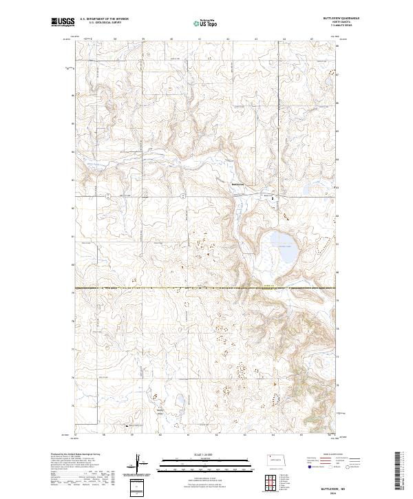
2024 Battleview
Burke County, ND
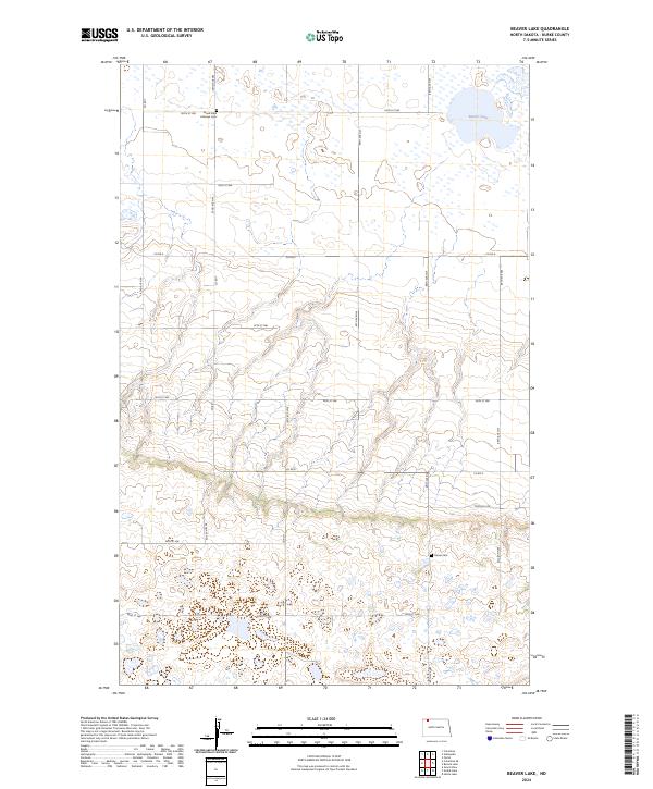
2024 Beaver Lake
Burke County, ND
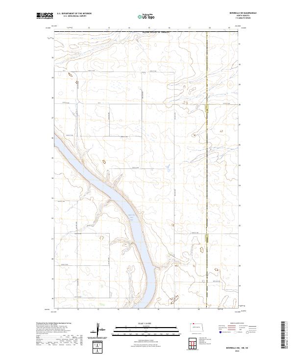
2024 Bowbells NE
Burke County, ND
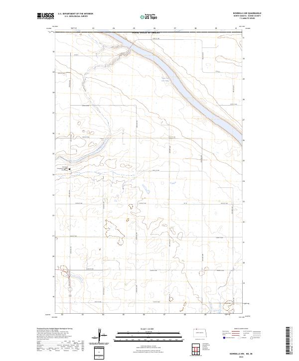
2024 Bowbells NW
Burke County, ND
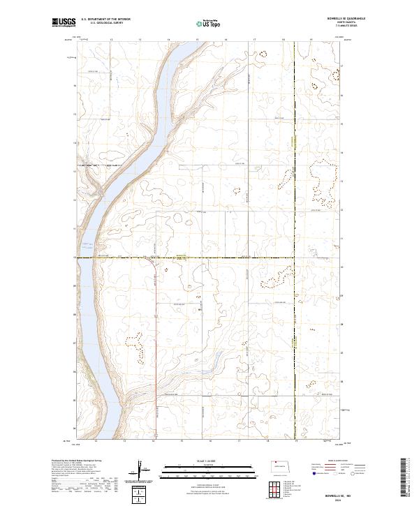
2024 Bowbells SE
Burke County, ND
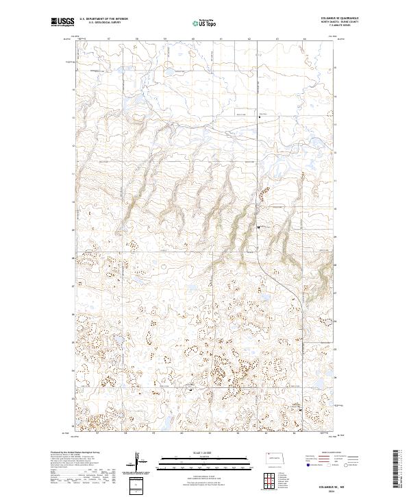
2024 Columbus SE
Burke County, ND
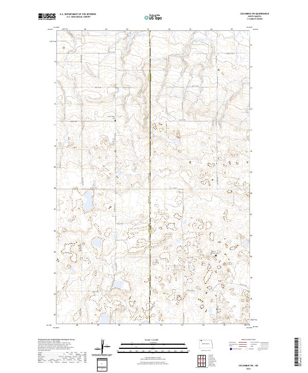
2024 Columbus SW
Burke County, ND
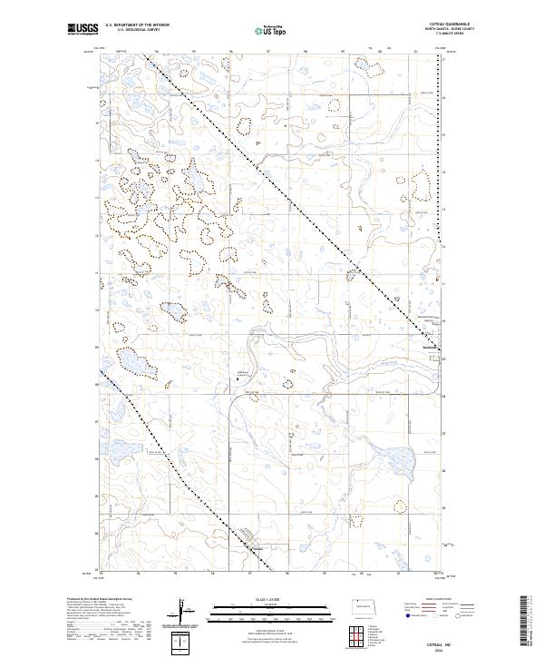
2024 Coteau
Burke County, ND
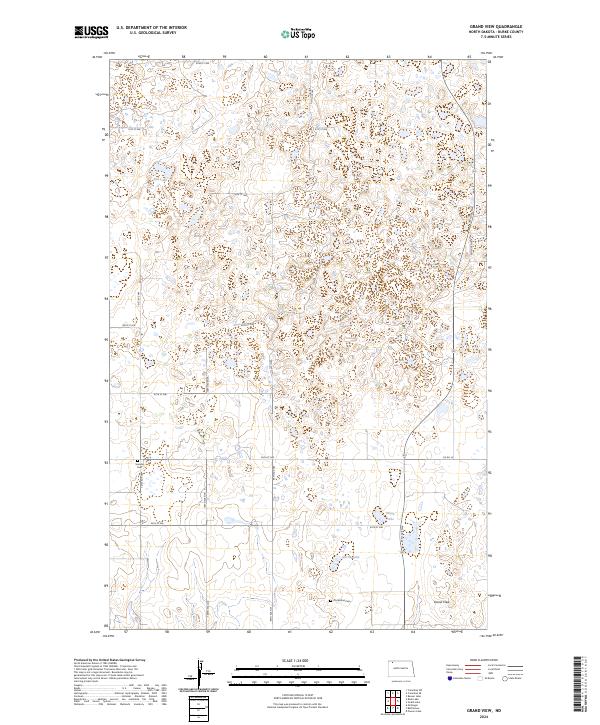
2024 Grand View
Burke County, ND
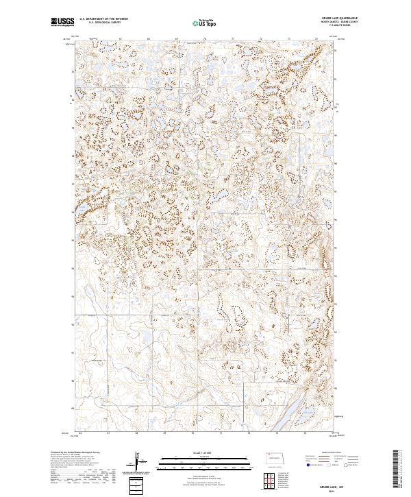
2024 Grubb Lake
Burke County, ND
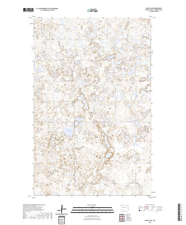
2024 Helde Lake
Burke County, ND
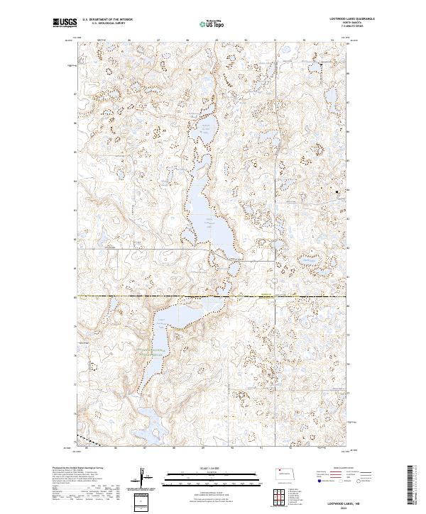
2024 Lostwood Lakes
Burke County, ND
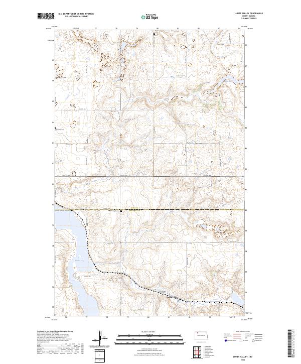
2024 Lunds Valley
Burke County, ND
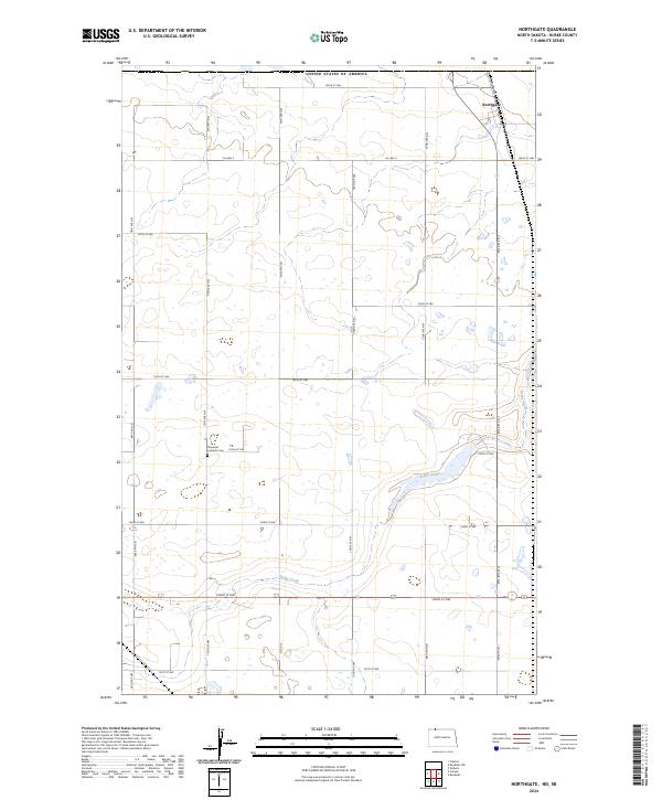
2024 Northgate
Burke County, ND
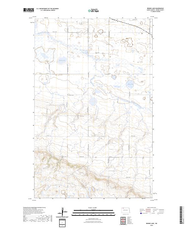
2024 Rennie Lake
Burke County, ND
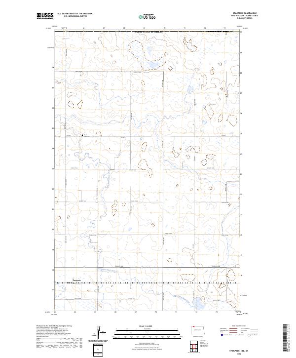
2024 Stampede
Burke County, ND
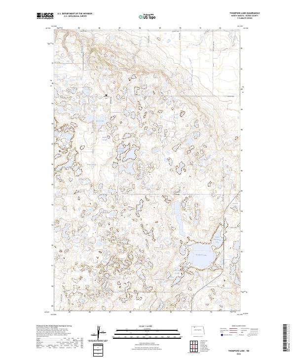
2024 Thompson Lake
Burke County, ND
2024 Vanville NE
Burke County, ND
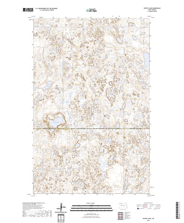
2024 Westby Lake
Burke County, ND
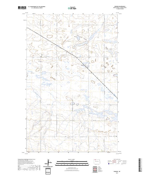
2024 Woburn
Burke County, ND