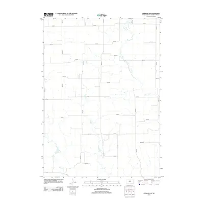
2012 Map of Niobrara NW
USGS Topo · Published 2012About this map
Choteau Cr and its tributaries carve a complex drainage pattern across this section of Charles Mix County, defining the rural character of Ree Township. The landscape is structured by a strict section-line grid of numbered roads, punctuated by family-named routes such as Blaha Rd, Beeson Rd, and Houska Rd. These named roads often suggest the historic footprints of long-established agricultural homesteads in the region. The drainage of Bull Cr and Spring Cr provides the primary relief in an otherwise systematically divided territory. This map captures the intersection of natural hydrology and the persistent geometric order of the American Midwest, reflecting an era where local travel remained anchored to these established rural corridors and county routes like Co Rd-2.
Find a feature on this map
23 named features on this map. Tap any name to fly to it.
Don’t see what you’re looking for? This feature index may not catch every label — zoom into the map to look around manually.
Map Details
Editions of this 2012 Niobrara NW Map
This is the sole edition of this map. No revisions or reprints were ever made.
Other maps of this area

1950 · Niobrara
USGS Topo · 1:24,000

1950 · Verdel
USGS Topo · 1:24,000

1950 · Monowi
USGS Topo · 1:24,000

1952 · Monowi
USGS Topo · 1:24,000

1955 · Mitchell
USGS Topo · 1:250,000

1955 · O'Neill
USGS Topo · 1:250,000

1959 · O'Neill
USGS Topo · 1:250,000

1959 · Mitchell
USGS Topo · 1:250,000

1964 · Wagner
USGS Topo · 1:24,000

1964 · Lynch NE
USGS Topo · 1:24,000