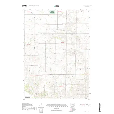
2017 Map of Niobrara NW
USGS Topo · Published 2017About this map
The Charles Mix County Waterfowl Production Area anchors the northern portion of this landscape, reflecting South Dakota's commitment to prairie wetland preservation. The terrain is defined by the winding course of Choteau Creek and its smaller tributaries like Bull Creek and Spring Creek, which drain toward the Missouri National Recreation River at the southern edge. The map reveals a highly structured rural grid of section-line roads, such as Co Hwy 5 and 399th Ave, which facilitate movement through the agricultural uplands. Many roads carry local family names, including Blaha Rd, Houska Rd, and Beeson Rd, offering valuable clues for genealogists researching the historic landholding patterns and legacy families of Charles Mix County in the 21st century.
Find a feature on this map
31 named features on this map. Tap any name to fly to it.
Don’t see what you’re looking for? This feature index may not catch every label — zoom into the map to look around manually.
Map Details
Editions of this 2017 Niobrara NW Map
This is the sole edition of this map. No revisions or reprints were ever made.
Other maps of this area

1950 · Niobrara
USGS Topo · 1:24,000

1950 · Verdel
USGS Topo · 1:24,000

1950 · Monowi
USGS Topo · 1:24,000

1952 · Monowi
USGS Topo · 1:24,000

1955 · Mitchell
USGS Topo · 1:250,000

1955 · O'Neill
USGS Topo · 1:250,000

1959 · O'Neill
USGS Topo · 1:250,000

1959 · Mitchell
USGS Topo · 1:250,000

1964 · Wagner
USGS Topo · 1:24,000

1964 · Lynch NE
USGS Topo · 1:24,000