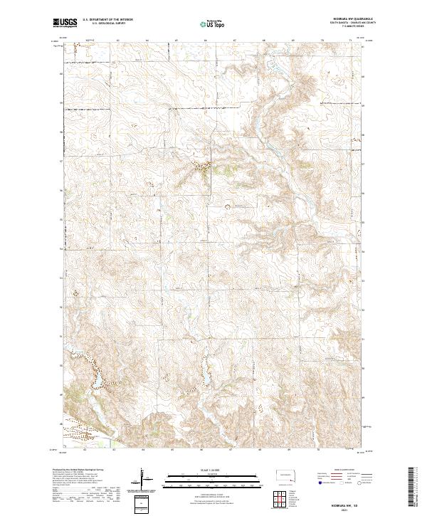
2021 Map of Niobrara NW
USGS Topo · Published 2021About this map
Charles Mix County Waterfowl Production Area dominates the northern section of this landscape, marking a dedicated territory for local conservation. The terrain is defined by a series of drainage networks, with Chateau Creek and Bull Cr carving through the prairie elevations. These waterways create a distinct topographical pattern across the various sections of Townships 93, 94, and 95 North. A grid of rural roads, including Blaha Rd and Houska Rd, provides access across the drainage basins of Spring Cr and other tributaries. This survey illustrates the modern rural infrastructure of Charles Mix County, where large-scale land management for waterfowl and traditional agricultural transport routes intersect. The map serves as a detailed record of the area's hydrography and section-line road developments in the early twenty-first century.
Find a feature on this map
22 named features on this map. Tap any name to fly to it.
Don’t see what you’re looking for? This feature index may not catch every label — zoom into the map to look around manually.
Map Details
Editions of this 2021 Niobrara NW Map
This is the sole edition of this map. No revisions or reprints were ever made.
Other maps of this area

1950 · Niobrara
USGS Topo · 1:24,000

1950 · Verdel
USGS Topo · 1:24,000

1950 · Monowi
USGS Topo · 1:24,000

1952 · Monowi
USGS Topo · 1:24,000

1955 · Mitchell
USGS Topo · 1:250,000

1955 · O'Neill
USGS Topo · 1:250,000

1959 · O'Neill
USGS Topo · 1:250,000

1959 · Mitchell
USGS Topo · 1:250,000

1964 · Wagner
USGS Topo · 1:24,000

1964 · Lynch NE
USGS Topo · 1:24,000