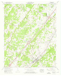
1974 Map of Niota
USGS Topo · Published 1976About this map
Niota serves as the primary hub of this East Tennessee landscape, situated along the Southern Railway as it follows the valley between the ridges. The 1970s terrain is characterized by a high density of agricultural infrastructure, with numerous silos dotting the landscape around Union Grove and Pond Hill. Water resources like Sweetwater Creek and Mouse Creek provide the drainage for this rolling country, supporting local industry at Acme Mill and Barton Mill. For those tracing family histories, the map identifies a significant number of rural burial sites, including the Taylor Cem, Matlock Cem, and Chapman Cem. Religious and community life is anchored by landmarks such as Beulah Chapel and the Pond Hill School, while leisure space is represented by the Springbrook Golf and Country Club. The geography reflects a well-established rural economy where transportation corridors like the Old Niota Road connect small crossroads and family-named landmarks.
Find a feature on this map
78 named features on this map. Tap any name to fly to it.
Don’t see what you’re looking for? This feature index may not catch every label — zoom into the map to look around manually.
Map Details
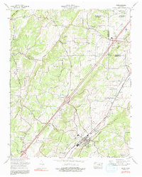
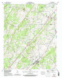
Editions of this 1974 Niota Map
3 editions found
Other maps of this area

1886 · Cleveland
USGS Topo · 1:125,000

1887 · Kingston
USGS Topo · 1:125,000

1891 · Kingston
USGS Topo · 1:125,000

1892 · Cleveland
USGS Topo · 1:125,000

1893 · Murphy
USGS Topo · 1:125,000

1893 · Kingston
USGS Topo · 1:125,000

1895 · Cleveland
USGS Topo · 1:125,000

1895 · Loudon
USGS Topo · 1:125,000

1901 · Cleveland
USGS Topo · 1:125,000

1914 · Murphy
USGS Topo · 1:125,000