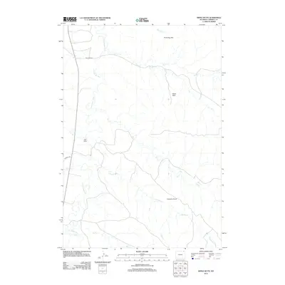
2012 Map of Nipple Butte
USGS Topo · Published 2012About this map
The Little Powder River winds through the western half of this Campbell County landscape, defining a drainage system that includes Trail Cr, Dry Trail Cr, and Olmstead Cr. The terrain is characterized by high ridges and distinct geological markers, most notably the Nipple Butte landmark and the Prairie Dog Hills in the north. This survey documents the pastoral and rangeland character of northeastern Wyoming, where small intermittent streams like Eightyfive Cr descend from the Eightyfive Divide. Transportation in this area is limited to rural routes such as Trail Creek Rd and Olmstead Rd, illustrating the low-density settlement pattern typical of the region. Features like Ash Draw and Bell Cr further highlight the intricate hydrography that has historically supported livestock and land management in the Powder River Basin.
Find a feature on this map
16 named features on this map. Tap any name to fly to it.
Don’t see what you’re looking for? This feature index may not catch every label — zoom into the map to look around manually.
Map Details
Editions of this 2012 Nipple Butte Map
This is the sole edition of this map. No revisions or reprints were ever made.
Other maps of this area

1954 · Ekalaka
USGS Topo · 1:250,000

1954 · Gillette
USGS Topo · 1:250,000

1955 · Gillette
USGS Topo · 1:250,000

1956 · Ekalaka
USGS Topo · 1:250,000

1958 · Gillette
USGS Topo · 1:250,000

1958 · Ekalaka
USGS Topo · 1:250,000

1962 · Gillette
USGS Topo · 1:250,000

1965 · Ekalaka
USGS Topo · 1:250,000

1970 · Wild Bill Creek
USGS Topo · 1:24,000

1970 · Belle Creek SW
USGS Topo · 1:24,000