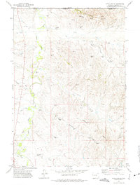
1972 Map of Nipple Butte
USGS Topo · Published 1975About this map
The Little Powder River meanders through the northwest corner of this Campbell County landscape, marking a significant transition between the river bottomlands and the elevated terrain of the Prairie Dog Hills. Situated along the border between Montana and Wyoming, the area is defined by a complex network of seasonal drainages and topographic landmarks such as Nipple Butte and the Eightyfive Divide.
Find a feature on this map
16 named features on this map. Tap any name to fly to it.
Don’t see what you’re looking for? This feature index may not catch every label — zoom into the map to look around manually.
Map Details
Editions of this 1972 Nipple Butte Map
This is the sole edition of this map. No revisions or reprints were ever made.
Other maps of this area

1954 · Ekalaka
USGS Topo · 1:250,000

1954 · Gillette
USGS Topo · 1:250,000

1955 · Gillette
USGS Topo · 1:250,000

1956 · Ekalaka
USGS Topo · 1:250,000

1958 · Gillette
USGS Topo · 1:250,000

1958 · Ekalaka
USGS Topo · 1:250,000

1962 · Gillette
USGS Topo · 1:250,000

1965 · Ekalaka
USGS Topo · 1:250,000

1970 · Wild Bill Creek
USGS Topo · 1:24,000

1970 · Belle Creek SW
USGS Topo · 1:24,000