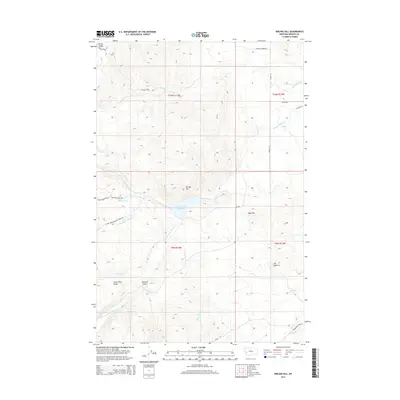
2014 Map of Nirling Hill
USGS Topo · Published 2014About this map
Lower Willow Cr Reservoir and the surrounding high country of Granite County dominate this high-altitude landscape. The terrain is defined by prominent elevations like Nirling Hill and the distinctive Sugarloaf peak, with the Lower Willow Cr drainage system and its various forks cutting through the mountain ridges. This 2014 survey reveals an intricate network of water management features, including the Allen Dale Ditch, Dooley Ditch, and Conn Ditch, which redirect snowmelt and creek water for local use. Cattle and ranching heritage is evident through named access points such as Dooley Corner Rd and Lannen Rd. Higher elevations are accessible via the Harvey Ridge Trl, which traverses Harvey Ridge near the northern boundary, while the southern reaches of the quadrangle include the curiously named The Eyebrow and Silver King Ridge.
Find a feature on this map
34 named features on this map. Tap any name to fly to it.
Don’t see what you’re looking for? This feature index may not catch every label — zoom into the map to look around manually.
Map Details
Editions of this 2014 Nirling Hill Map
This is the sole edition of this map. No revisions or reprints were ever made.
Other maps of this area

1908 · Philipsburg
USGS Topo · 1:125,000

1919 · Drummond
USGS Topo · 1:125,000

1921 · Drummond
USGS Topo · 1:125,000

1947 · Butte
USGS Topo · 1:250,000

1958 · Butte
USGS Topo · 1:250,000

1958 · Drummond
USGS Topo · 1:62,500

1959 · Bearmouth
USGS Topo · 1:62,500

1960 · Butte
USGS Topo · 1:250,000

1962 · Butte
USGS Topo · 1:250,000

1971 · Henderson Mountain
USGS Topo · 1:24,000