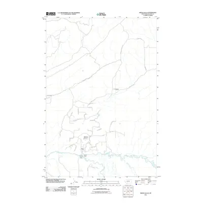
2011 Map of Nixon Gulch
USGS Topo · Published 2011About this map
Nixon Gulch carves a path through this part of Gallatin County, serving as a primary geographic corridor north of the confluence of the Gallatin River and East Gallatin River. This map shows a landscape defined by ranching and rural development, notably the Lockhart Ranch and the service area for the Gallatin River Ranch Rural Fire Dept. A network of rural roads such as Reservoir Cutoff Rd and Horseshoe Cottonwood Rd connects scattered homesteads and points of interest like the Horseshoe/Nixon Glch Mine. The presence of the Nixon Gulch Bridge and various drainage features like Bullrun Creek highlight the importance of water management and river access in this high-plains environment during the early 21st century.
Find a feature on this map
33 named features on this map. Tap any name to fly to it.
Don’t see what you’re looking for? This feature index may not catch every label — zoom into the map to look around manually.
Map Details
Editions of this 2011 Nixon Gulch Map
This is the sole edition of this map. No revisions or reprints were ever made.
Other maps of this area

1886 · Fort Logan
USGS Topo · 1:250,000

1888 · Three Forks
USGS Topo · 1:250,000

1894 · Three Forks
USGS Topo · 1:250,000

1895 · Three Forks
USGS Topo · 1:250,000

1947 · Bozeman
USGS Topo · 1:250,000

1948 · Bozeman
USGS Topo · 1:250,000

1948 · White Sulphur Springs
USGS Topo · 1:250,000

1949 · Manhattan
USGS Topo · 1:62,500

1949 · Maudlow
USGS Topo · 1:62,500

1949 · Toston
USGS Topo · 1:62,500