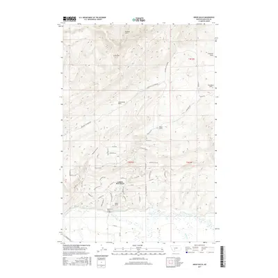
2017 Map of Nixon Gulch
USGS Topo · Published 2017About this map
Gallatin River Ranch occupies a prominent stretch of this Gallatin County landscape, where the high-elevation terrain of the Horseshoe Hills descends toward the fertile river valley. This map highlights the complex drainage system of the region, featuring several deep cuts through the topography such as Nixon Gulch, Big Davis Gulch, and Cottonwood Gulch. These natural corridors have long dictated the movement of people and livestock, now reflected in the modern road network that includes Nixon Gulch Rd and Horseshoe Cottonwood Rd.
Find a feature on this map
52 named features on this map. Tap any name to fly to it.
Don’t see what you’re looking for? This feature index may not catch every label — zoom into the map to look around manually.
Map Details
Editions of this 2017 Nixon Gulch Map
This is the sole edition of this map. No revisions or reprints were ever made.
Other maps of this area

1886 · Fort Logan
USGS Topo · 1:250,000

1888 · Three Forks
USGS Topo · 1:250,000

1894 · Three Forks
USGS Topo · 1:250,000

1895 · Three Forks
USGS Topo · 1:250,000

1947 · Bozeman
USGS Topo · 1:250,000

1948 · Bozeman
USGS Topo · 1:250,000

1948 · White Sulphur Springs
USGS Topo · 1:250,000

1949 · Manhattan
USGS Topo · 1:62,500

1949 · Maudlow
USGS Topo · 1:62,500

1949 · Toston
USGS Topo · 1:62,500