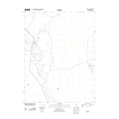
2011 Map of Nixon
USGS Topo · Published 2011About this map
Nixon sits at a critical bend in the Truckee River, serving as a central hub for the surrounding landscape. The presence of the Piute Indian Agency and the Nixon Post Office establishes the settlement's role as a center of local administration and communication. To the north, the Nixon Landing Strip provides an aerial gateway, while roads like Valley Rd and Numana Dune Rd connect the town to the broader arid basin.
Find a feature on this map
23 named features on this map. Tap any name to fly to it.
Don’t see what you’re looking for? This feature index may not catch every label — zoom into the map to look around manually.
Map Details
Editions of this 2011 Nixon Map
This is the sole edition of this map. No revisions or reprints were ever made.
Other maps of this area

1890 · Wadsworth
USGS Topo · 1:125,000

1892 · Wadsworth
USGS Topo · 1:125,000

1894 · Wadsworth
USGS Topo · 1:125,000

1957 · Fireball Ridge
USGS Topo · 1:62,500

1957 · Two Tips
USGS Topo · 1:62,500

1957 · Wadsworth
USGS Topo · 1:62,500

1957 · Nixon
USGS Topo · 1:62,500

1957 · Reno
USGS Topo · 1:250,000

1959 · Reno
USGS Topo · 1:250,000

1960 · Reno
USGS Topo · 1:250,000