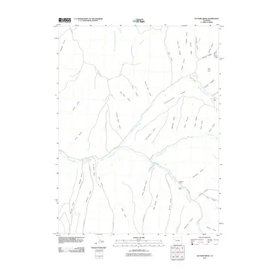
2010 Map of No Name Ridge
USGS Topo · Published 2010About this map
Piceance Creek and its complex network of tributaries define this high-altitude landscape in Rio Blanco County. The drainage patterns revealed here, including Fourteenmile Creek and Dry Thirteenmile Creek, illustrate how water has carved the terrain into distinctive features like No Name Ridge and Fourteenmile Ridge. Local ranching heritage is evident through family-named sites such as Robinson Ranch, Jones Ranch, and Cox Ranch, which are connected by remote thoroughfares like County RD-5 and 14 Creek RD.
Find a feature on this map
50 named features on this map. Tap any name to fly to it.
Don’t see what you’re looking for? This feature index may not catch every label — zoom into the map to look around manually.
Map Details
Editions of this 2010 No Name Ridge Map
This is the sole edition of this map. No revisions or reprints were ever made.
Other maps of this area

1906 · Grand Hogback
USGS Topo · 1:125,000

1910 · Grand Hogback
USGS Topo · 1:125,000

1925 · Parachute Creek
USGS Topo · 1:62,500

1927 · Parachute Creek
USGS Topo · 1:62,500

1952 · Rio Blanco
USGS Topo · 1:24,000

1952 · Jessup Gulch
USGS Topo · 1:24,000

1952 · Greasewood Gulch
USGS Topo · 1:24,000

1952 · No Name Ridge
USGS Topo · 1:24,000

1952 · Segar Mountain
USGS Topo · 1:24,000

1956 · Grand Junction
USGS Topo · 1:250,000