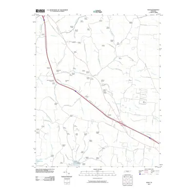
2010 Map of Noah
USGS Topo · Published 2010About this map
Sixteenth Model and the rural crossroads of this Coffee County landscape are defined by a dense network of family cemeteries and ridges. The terrain transitions from the rolling uplands of The Barrens in the east to the deep drainages of Garrison Fork and Noah Fork that carve through the central landscape. Many of the hollows and ridges carry the names of early resident families, such as Hamby Hollow, Walden Ridge, and Shelton Ridge. Near the western edge, the Westmoreland Water Supply Dam controls local water flow, while the southern reach is marked by the shoreline of Normandy Lake. This 2010 survey reflects a deeply established agricultural community where generational landmarks like Hurricane Cemetery and the McMichael Cemetery anchor the geography alongside modern infrastructure like the diagonal route of Interstate 24.
Find a feature on this map
125 named features on this map. Tap any name to fly to it.
Don’t see what you’re looking for? This feature index may not catch every label — zoom into the map to look around manually.
Map Details
Editions of this 2010 Noah Map
This is the sole edition of this map. No revisions or reprints were ever made.
Other maps of this area

1913 · Hollow Springs
USGS Topo · 1:62,500

1936 · Ovoca
USGS Topo · 1:24,000

1936 · Webbs Jungle
USGS Topo · 1:24,000

1936 · Fredonia
USGS Topo · 1:24,000

1936 · Manchester
USGS Topo · 1:24,000

1936 · Beech Grove
USGS Topo · 1:24,000

1936 · Petty Gap
USGS Topo · 1:24,000

1936 · Noah
USGS Topo · 1:24,000

1936 · Wartrace
USGS Topo · 1:24,000

1936 · Normandy
USGS Topo · 1:24,000