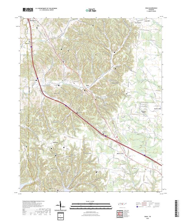
2022 Map of Noah
USGS Topo · Published 2022About this map
The Garrison Fork and its numerous tributaries carve a landscape of deep hollows and prominent ridges across this section of Coffee and Bedford Counties. Small rural hubs like Noah and Beechgrove anchor a network of family-named landmarks and historical burial grounds. The mapping of Lowe Hollow, Noryell Hollow, and Crosslin Hollow reveals a settlement pattern deeply influenced by the narrow valleys. Genealogists will find a wealth of data in the many family-named cemeteries, such as Sartain Cem, Ferrell Cem, and Kendall Cem, which are scattered throughout the hills. Along the eastern edge, the Duck River and its branches, including Muddy Br and Clear Br, define the boundaries near Lewis Store and the community of Gnat Hill. The geography is further punctuated by local landmarks like Huffman Spring and Floyd Pond, illustrating the importance of water sources in this upland terrain.
Find a feature on this map
159 named features on this map. Tap any name to fly to it.
Don’t see what you’re looking for? This feature index may not catch every label — zoom into the map to look around manually.
Map Details
Editions of this 2022 Noah Map
This is the sole edition of this map. No revisions or reprints were ever made.
Other maps of this area

1913 · Hollow Springs
USGS Topo · 1:62,500

1936 · Ovoca
USGS Topo · 1:24,000

1936 · Webbs Jungle
USGS Topo · 1:24,000

1936 · Fredonia
USGS Topo · 1:24,000

1936 · Manchester
USGS Topo · 1:24,000

1936 · Beech Grove
USGS Topo · 1:24,000

1936 · Petty Gap
USGS Topo · 1:24,000

1936 · Noah
USGS Topo · 1:24,000

1936 · Wartrace
USGS Topo · 1:24,000

1936 · Normandy
USGS Topo · 1:24,000