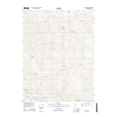
2015 Map of Noble Butte
USGS Topo · Published 2015About this map
Riverdale and Pratt Place anchor this 2015 survey of the Mendocino County interior, a landscape defined by high ridges and the intricate drainage of the South Fork Eel River. The geography is marked by numerous clearings and upland flats, including Peterson Opening, Hiltabidels Opening, and a cluster of meadows such as Talsma Meadow and Big Tree Meadow. These features suggest a history of seasonal grazing or high-altitude camps within the timbered terrain. Notable peaks like Noble Butte and Red Mtn provide significant vertical relief, while Windy Gap serves as a natural transition point between the drainages of McCoy Cr and Bridges Cr. The map details a network of creeks, from School Section Cr to Holohan Gulch, that feed into the larger river systems, illustrating the complex water-shedding environment of this section of the Coast Ranges.
Find a feature on this map
39 named features on this map. Tap any name to fly to it.
Don’t see what you’re looking for? This feature index may not catch every label — zoom into the map to look around manually.
Map Details
Editions of this 2015 Noble Butte Map
This is the sole edition of this map. No revisions or reprints were ever made.
Other maps of this area
1920 · Cummings
USGS Topo · 1:62,500
1920 · Harris
USGS Topo · 1:62,500
1921 · Briceland
USGS Topo · 1:62,500
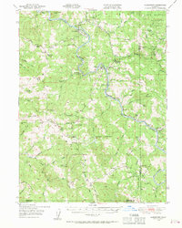
1949 · Alderpoint
USGS Topo · 1:62,500
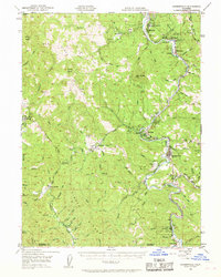
1949 · Garberville
USGS Topo · 1:62,500
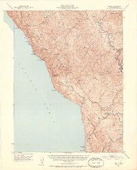
1950 · Piercy
USGS Topo · 1:62,500
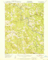
1951 · Alderpoint
USGS Topo · 1:62,500
1951 · Garberville
USGS Topo · 1:62,500
1952 · Leggett
USGS Topo · 1:62,500
1957 · Ukiah
USGS Topo · 1:250,000