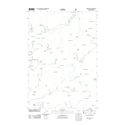
2011 Map of Noble Peak
USGS Topo · Published 2011About this map
Leiterville sits at the base of a mineral-rich mountain range, where extraction once drove the local economy. This high-altitude landscape is characterized by a high density of named mining claims, including the Bismark Mine, Snyder Mine, and Occidental Mine. The terrain is marked by significant peaks such as Noble Peak, Mount Jefferson, and Hollowtop Mountain, which overlook a network of alpine lakes and reservoirs. Water management is evident through various structures like Noble Dam and Bismark Reservoir, likely developed to support mining operations and early ranching. The presence of Spring Park Flat and Butterfly Flats suggests more level areas between the sharp summits, while the drainage of the South Boulder River and North Fork Indian Creek defines the local watershed. Historically, access was maintained via routes like Wisconsin Creek Rd and Indian Creek Rd, linking remote camps and work sites to the broader region.
Find a feature on this map
95 named features on this map. Tap any name to fly to it.
Don’t see what you’re looking for? This feature index may not catch every label — zoom into the map to look around manually.
Map Details
Editions of this 2011 Noble Peak Map
This is the sole edition of this map. No revisions or reprints were ever made.
Other maps of this area

1888 · Three Forks
USGS Topo · 1:250,000

1893 · Dillon
USGS Topo · 1:250,000

1894 · Three Forks
USGS Topo · 1:250,000

1895 · Three Forks
USGS Topo · 1:250,000

1947 · Bozeman
USGS Topo · 1:250,000

1948 · Bozeman
USGS Topo · 1:250,000

1950 · Harrison
USGS Topo · 1:62,500

1950 · Virginia City
USGS Topo · 1:62,500

1955 · Bozeman
USGS Topo · 1:250,000

1955 · Dillon
USGS Topo · 1:250,000