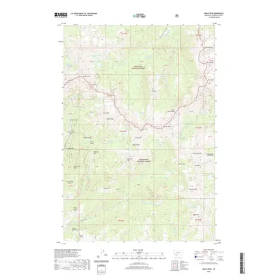
2020 Map of Noble Peak
USGS Topo · Published 2020About this map
Leiterville sits at the western edge of this high-elevation terrain, where the rugged alpine environment of the Tobacco Root Mountains dominates the landscape. The area is divided between the Deerlodge National Forest and the Beaverhead National Forest, characterized by a complex network of glacial basins and high summits. Notable peaks such as Noble Peak, Granite Peak, and Mt Jackson define the horizon, overlooking a system of high-mountain waters including Bismark Reservoir and the Brannan Lakes.
Find a feature on this map
80 named features on this map. Tap any name to fly to it.
Don’t see what you’re looking for? This feature index may not catch every label — zoom into the map to look around manually.
Map Details
Editions of this 2020 Noble Peak Map
This is the sole edition of this map. No revisions or reprints were ever made.
Other maps of this area

1888 · Three Forks
USGS Topo · 1:250,000

1893 · Dillon
USGS Topo · 1:250,000

1894 · Three Forks
USGS Topo · 1:250,000

1895 · Three Forks
USGS Topo · 1:250,000

1947 · Bozeman
USGS Topo · 1:250,000

1948 · Bozeman
USGS Topo · 1:250,000

1950 · Harrison
USGS Topo · 1:62,500

1950 · Virginia City
USGS Topo · 1:62,500

1955 · Bozeman
USGS Topo · 1:250,000

1955 · Dillon
USGS Topo · 1:250,000