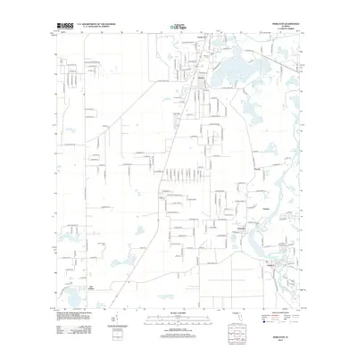
2012 Map of Nobleton
USGS Topo · Published 2012About this map
Floral City and Istachatta anchor this 2012 survey of the Withlacoochee River corridor, revealing a landscape defined by its numerous lakes and varied prairie lands. The map documents several small settlements and community hubs such as Nobleton, Pineola, and Jumeau, alongside distinctive terrain features like Spring Lake Prairie and May Prairie. These wetlands and open spaces are interspersed with residential growth and a dense network of local roads.
Find a feature on this map
186 named features on this map. Tap any name to fly to it.
Don’t see what you’re looking for? This feature index may not catch every label — zoom into the map to look around manually.
Map Details
Editions of this 2012 Nobleton Map
This is the sole edition of this map. No revisions or reprints were ever made.
Other maps of this area

1893 · Panasoffkee
USGS Topo · 1:62,500

1895 · Tsala Apopka
USGS Topo · 1:62,500

1895 · Panasoffkee
USGS Topo · 1:62,500

1954 · Lecanto
USGS Topo · 1:24,000

1954 · Brooksville NW
USGS Topo · 1:24,000

1954 · Nobleton
USGS Topo · 1:24,000

1954 · Brooksville
USGS Topo · 1:24,000

1954 · Inverness
USGS Topo · 1:24,000

1954 · Brooksville SE
USGS Topo · 1:24,000

1954 · Inverness
USGS Topo · 1:62,500