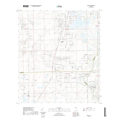
2018 Map of Nobleton
USGS Topo · Published 2018About this map
Withlacoochee River curves through the eastern portion of this landscape where Citrus, Sumter, and Hernando counties meet. The riverine environment defines the character of Nobleton and Istachatta, where the drainage patterns support a dense network of wetlands and small lakes like Townsen Lake. Further north, Floral City sits on higher ground near the western shores of Bradley Lake, reflecting the region's historic transition from river settlements to citrus-growing and residential clusters. Genealogy-minded researchers will find several localized burial grounds, including the Frazier Cem and Williams Cem near the Citrus County line, as well as the New Church Cem located further south toward the prairie lands. The terrain shifts from the open expanses of Spring Lake Prairie and May Prairie in the southwest to the intricate lake systems of Moon Lake and Long Pond in the northeast.
Find a feature on this map
168 named features on this map. Tap any name to fly to it.
Don’t see what you’re looking for? This feature index may not catch every label — zoom into the map to look around manually.
Map Details
Editions of this 2018 Nobleton Map
This is the sole edition of this map. No revisions or reprints were ever made.
Other maps of this area
1893 · Panasoffkee
USGS Topo · 1:62,500
1895 · Tsala Apopka
USGS Topo · 1:62,500
1895 · Panasoffkee
USGS Topo · 1:62,500
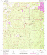
1954 · Lecanto
USGS Topo · 1:24,000
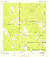
1954 · Brooksville NW
USGS Topo · 1:24,000
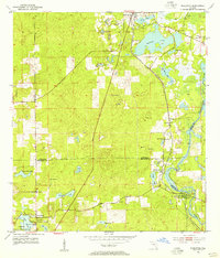
1954 · Nobleton
USGS Topo · 1:24,000
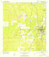
1954 · Brooksville
USGS Topo · 1:24,000
1954 · Inverness
USGS Topo · 1:24,000
1954 · Brooksville SE
USGS Topo · 1:24,000
1954 · Inverness
USGS Topo · 1:62,500