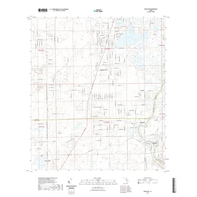
2021 Map of Nobleton
USGS Topo · Published 2021About this map
Floral City and its surrounding lakeside hamlets define this corner of Central Florida, where the boundaries of Citrus, Hernando, and Sumter counties meet. The landscape is a complex mosaic of freshwater bodies, including Bradley Lake, Moon Lake, and Lake Lindsey, many of which are connected by the Withlacoochee River-South Trl. This waterway was historically vital for transit and drainage in a region characterized by low-lying wetlands and sandy ridges.
Find a feature on this map
85 named features on this map. Tap any name to fly to it.
Don’t see what you’re looking for? This feature index may not catch every label — zoom into the map to look around manually.
Map Details
Editions of this 2021 Nobleton Map
This is the sole edition of this map. No revisions or reprints were ever made.
Other maps of this area
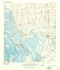
1893 · Panasoffkee
USGS Topo · 1:62,500
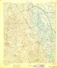
1895 · Tsala Apopka
USGS Topo · 1:62,500
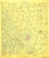
1895 · Panasoffkee
USGS Topo · 1:62,500
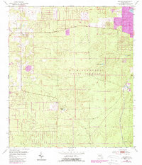
1954 · Lecanto
USGS Topo · 1:24,000
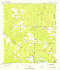
1954 · Brooksville NW
USGS Topo · 1:24,000
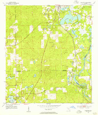
1954 · Nobleton
USGS Topo · 1:24,000
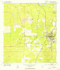
1954 · Brooksville
USGS Topo · 1:24,000
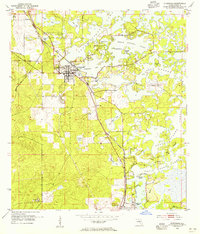
1954 · Inverness
USGS Topo · 1:24,000
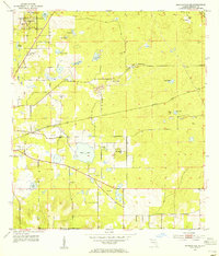
1954 · Brooksville SE
USGS Topo · 1:24,000
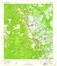
1954 · Inverness
USGS Topo · 1:62,500