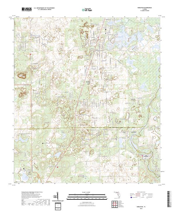
2024 Map of Nobleton
USGS Topo · Published 2024About this map
The Withlacoochee River carves a winding path through the borderlands of Citrus, Hernando, and Sumter counties, anchoring a landscape defined by its wetland ecology and rural settlement patterns. In the northern reaches, the community of Floral City sits near a dense cluster of water bodies including Little Lake and Bradley Lake, while the unincorporated area of Pineola lies to the east. The terrain is notably punctuated by several small burial grounds essential for genealogical research, such as Frazier Cem and Williams Cem.
Find a feature on this map
77 named features on this map. Tap any name to fly to it.
Don’t see what you’re looking for? This feature index may not catch every label — zoom into the map to look around manually.
Map Details
Editions of this 2024 Nobleton Map
This is the sole edition of this map. No revisions or reprints were ever made.
Other maps of this area

1893 · Panasoffkee
USGS Topo · 1:62,500

1895 · Tsala Apopka
USGS Topo · 1:62,500

1895 · Panasoffkee
USGS Topo · 1:62,500

1954 · Lecanto
USGS Topo · 1:24,000

1954 · Brooksville NW
USGS Topo · 1:24,000

1954 · Nobleton
USGS Topo · 1:24,000

1954 · Brooksville
USGS Topo · 1:24,000

1954 · Inverness
USGS Topo · 1:24,000

1954 · Brooksville SE
USGS Topo · 1:24,000

1954 · Inverness
USGS Topo · 1:62,500